Introduction: Crossing the Painted Desert
From late April to early June of this year, seasoned long-distance hikers Kate “Swept Away” Pickett and I embarked on an ambitious, self-supported traverse of southern Utah. Spanning approximately 800 miles (1,287 km), this expedition was not merely a hike, but a deep-dive exploration into the geological, historical, and archaeological heart of the American Southwest.
The journey began on the Nevada border, southwest of Enterprise, and concluded seven weeks later at the Hovenweep National Monument, marking the border with Colorado. Over the course of 49 days, the duo navigated a rugged mosaic of canyons, expansive plateaus, treacherous badlands, and towering mesas. This article serves as a comprehensive overview of the expedition, detailing the logistical realities, the geographic highlights, and the profound experiences of traversing one of the world’s most challenging and beautiful landscapes.

Main Facts and Expedition Scope
The "Southern Utah Traverse" was designed with a philosophy of curiosity over efficiency. While both Pickett and I have extensive experience in the region—having previously completed the Hayduke Trail and various shorter excursions throughout the Colorado Plateau—this specific route was curated to bridge the gaps in our previous explorations.

- Total Distance: Approximately 800 miles (1,287 km).
- Duration: 7 weeks (Late April – Early June).
- Starting Point: Nevada/Utah border (WSW of Enterprise).
- Ending Point: Hovenweep National Monument (UT/CO border).
- Terrain: A mixture of off-trail cross-country travel, ancient 4WD tracks, technical rock scrambles, river wading, and primitive trails.
The decision-making process for the route was largely dictated by a desire to witness unexplored topography, such as the Canaan Mountain Wilderness and the deeper, less-traveled reaches of the newly protected Bears Ears National Monument.

Chronological Overview: A Landscape in Flux
The expedition was divided into eight distinct stages, synchronized with resupply points. This structure allowed for a manageable carry of food and fuel, which was critical given the remote nature of the terrain.

Stage 1: The Western Frontier
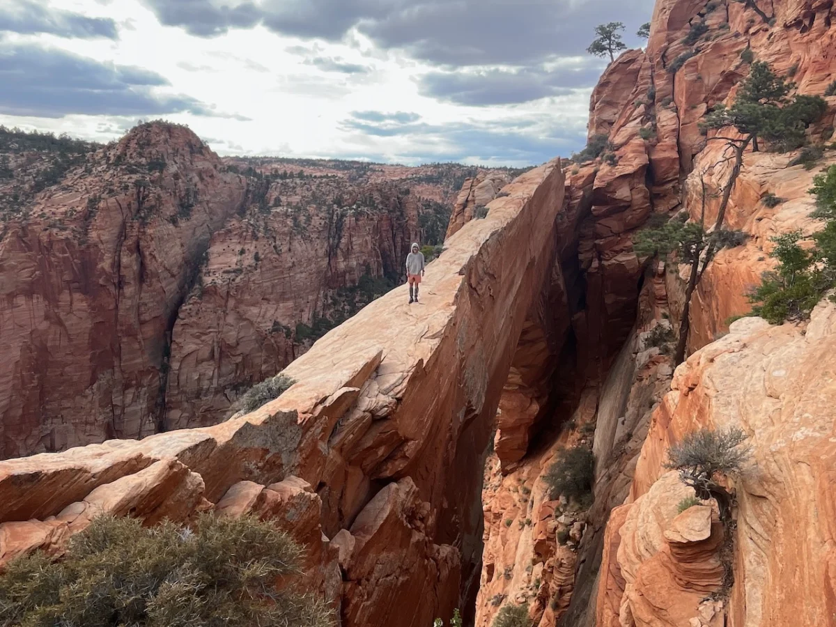
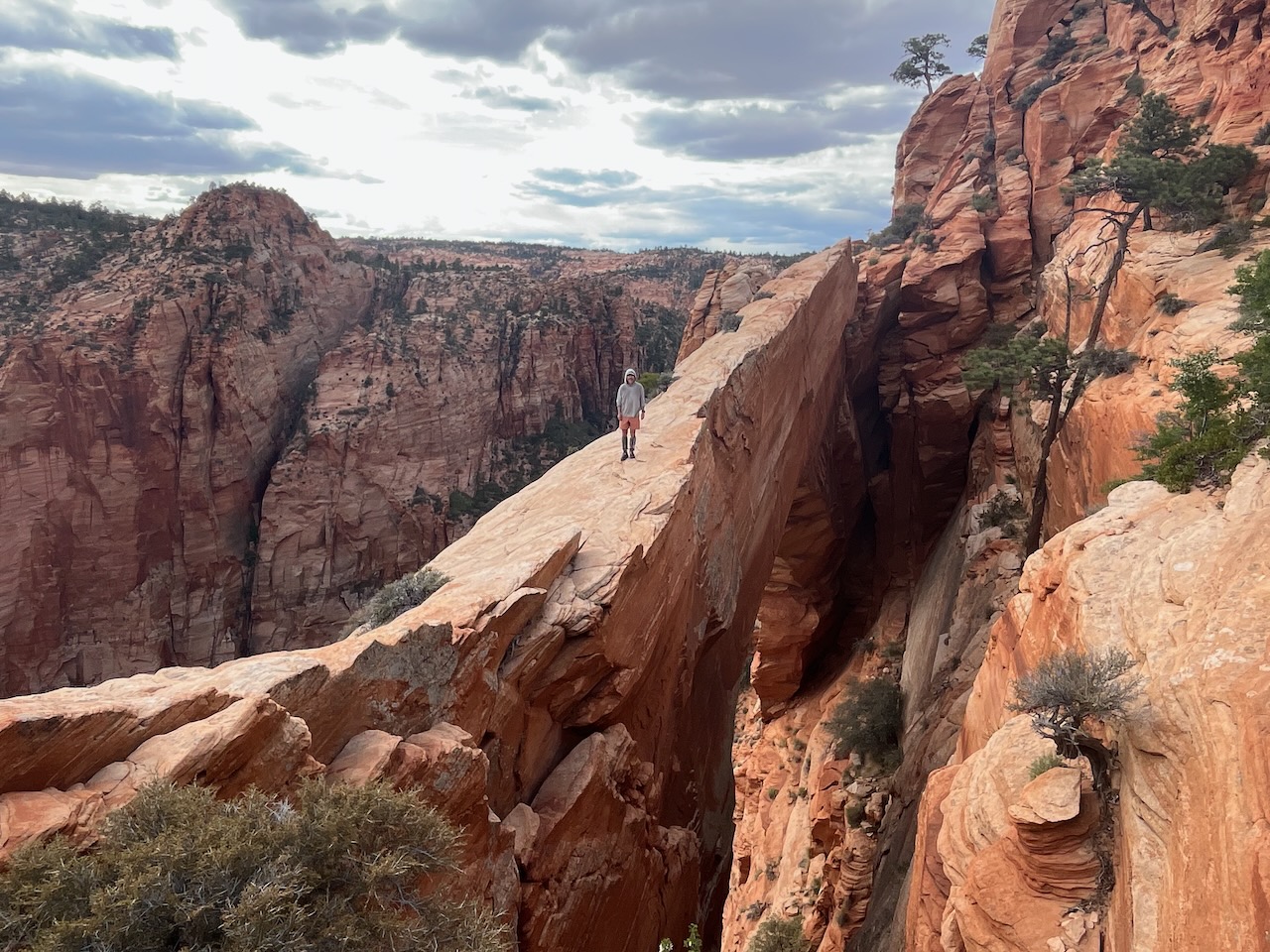
The journey commenced in the arid transition zones near the Nevada border. The initial weeks were defined by the stark beauty of the Great Basin meeting the Colorado Plateau. Navigating toward the Canaan Mountain Wilderness—a highlight for its soaring white domes and the wind-sculpted “Eye of Heaven” (Water Canyon Arch)—the team dealt with the initial physical acclimatization required for the heavy packs and rugged, uneven terrain.

Stage 2: The Red Rock Wonders
Transitioning through the Bryce Canyon region and the Grand Staircase-Escalante National Monument, the pace shifted. The hike through the "Barracks" and the technical challenges of the Peekaboo Loop tested our endurance. Water management, always a concern in Utah, became a central theme as the temperatures began to climb toward their early summer peaks.

Stage 3: The Heart of the Plateau
The middle segments of the hike took the team through the Waterpocket Fold and the labyrinthine canyons of Capitol Reef National Park. Here, the geology shifted, exposing millions of years of tectonic history. We found ourselves traversing the Wingate sandstone above Fold Canyon, a stretch that required high-level navigation and a steady nerve.

Stage 4: The Archaeological Crucible
The final stages focused on Bears Ears National Monument. Moving through Cedar Mesa, we explored the archaeological wealth of Collins Canyon, Grand Gulch, and the culturally significant "Perfect Kiva" in Bullet Canyon. The journey culminated at the Hovenweep National Monument, specifically at Holly Tower, just steps from the Colorado border.

Supporting Data: The Logistics of Survival
For any hiker attempting a traverse of this magnitude, the primary challenges are water acquisition, terrain navigation, and caloric maintenance.

Water Management
Water is the lifeblood—and the primary constraint—of any Utah hike. We utilized USGS topographic maps to identify potential sources, such as stock tanks, hidden springs, and historic windmills. In total, we maintained a carrying capacity of 9-10 liters for the most arid sections.

The strategy was augmented by local weather patterns; timely spring storms provided critical water in potholes and seasonal streams. Without these, the route would have necessitated much more frequent detours. Digital tools, including Jamal Green’s Across Utah mapping resources, were indispensable for cross-referencing potential water sources against real-time field conditions.

Resupply Strategy
We employed a hybrid model of pre-arranged mail drops and "buy-as-you-go" town stops.

- Towns: St. George, Kanab, and Escalante served as primary hubs.
- Cache: A pre-staged water and food cache at Burr Trail Road was essential to bridge the vast gap between Escalante and Bullfrog Marina.
- Support: Friends and family played a vital role, acting as the custodians for our supply boxes, ensuring that we had the necessary gear and calories at each transition point.
Environmental and Archaeological Stewardship
An expedition of this length through public lands requires a rigorous commitment to "Leave No Trace" principles. The archaeological sites we encountered—ranging from the Procession Panel on Comb Ridge to the cliff dwellings of the canyons—are non-renewable resources.

Our approach to these sites was one of profound respect. We avoided touching pictographs and petroglyphs and strictly adhered to the regulations set forth by the Bureau of Land Management (BLM) and the National Park Service (NPS). We stress that for future hikers, the primary goal should be preservation. As the popularity of the Bears Ears region grows, the burden of protection falls on the individual visitor.

Implications: The Future of Long-Distance Hiking
The success of this traverse highlights a growing trend in the outdoor community: the transition from "destination hiking" to "landscape immersion." Rather than checking off popular, established trails, hikers are increasingly looking to create their own routes, connecting public lands through creative and respectful navigation.

The Need for Permitting Education
A significant portion of our administrative effort was dedicated to securing permits. Navigating the requirements for Bryce Canyon, Grand Staircase-Escalante, Capitol Reef, and Bears Ears is complex. Hikers must be aware that land management agencies are increasingly tightening regulations to protect sensitive environments. We urge all future travelers to check the latest guidelines on Recreation.gov and local interagency offices well in advance of their departure.

Gear and Technology
The evolution of ultralight gear has made such a massive, multi-week trek significantly more viable. Our equipment choices focused on durability and multi-functionality. Over the coming weeks, a detailed gear breakdown will be released, but the core takeaway is that in the high-abrasion environment of southern Utah, weight savings must never come at the expense of structural integrity.

Final Thoughts: The Unseen Utah
The Southern Utah Traverse was a testament to the fact that there is still vast, untamed territory to be explored within the United States. While our route is now documented, it remains a fluid concept—subject to the changing weather, the shifting sands of the canyons, and the seasonal availability of water.

This 800-mile journey was not about reaching a destination; it was about the daily act of witnessing the geologic and human history etched into the red rock. Whether it was the silence of a canyon floor at dawn or the complexity of an ancient ruin, the traverse provided a perspective on time and landscape that few other experiences can offer. We hope our journey encourages others to explore these lands with the same level of care, curiosity, and respect.

Disclosure: This article contains affiliate links. The Hiking Life receives a small commission for purchases made through these links, which supports our mission to provide high-quality content for the global hiking community.