The Käsivarsi Wilderness Area in Finland’s far northwest is a realm of stark, unforgiving beauty. Often referred to as the "arm" of Finland, this region offers some of the most challenging and rewarding trekking terrain in Northern Europe. Stretching from Kilpisjärvi toward the iconic Halti fell—the highest point in Finland—this landscape is defined by its treeless tundra, treacherous boulder fields, and unpredictable Arctic weather.
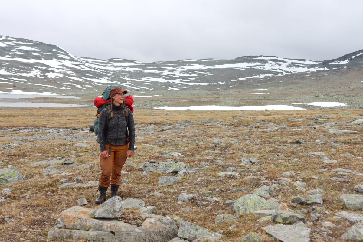
This report documents a ten-day expedition across this high-altitude terrain, providing a firsthand account of the physical demands, the ecological nuances of the tundra, and the logistical realities of navigating one of the most remote corners of the continent.
The Expedition: A Chronological Log
June 23: The Ascent Begins
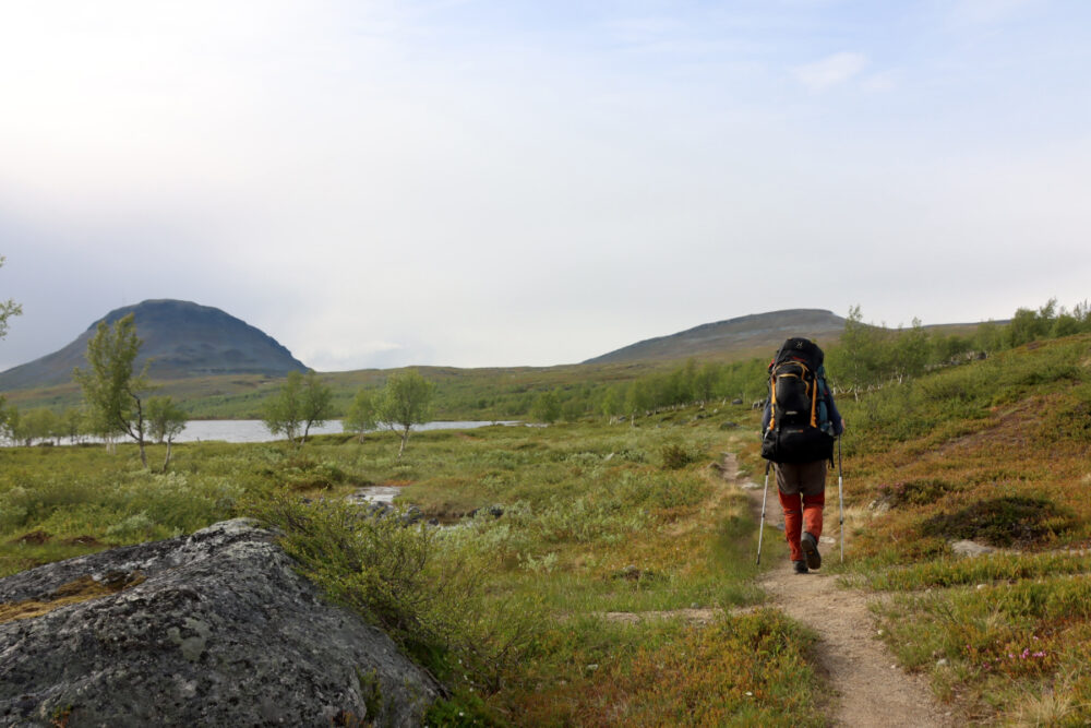
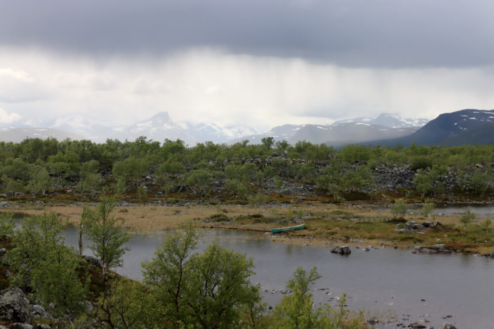
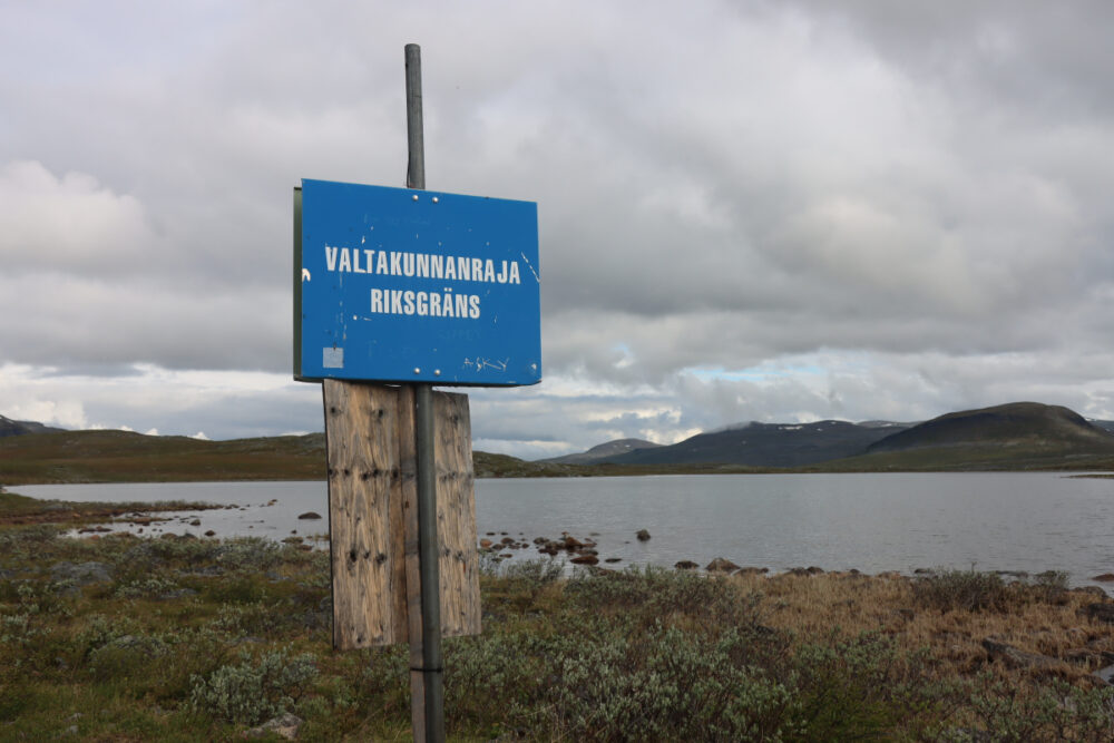
The journey commenced with an overnight train trip from Southern Finland to Rovaniemi, followed by a bus transfer to the Kilpisjärvi Visitor Centre. At 5:30 PM, the real challenge began. With 26-kilogram rucksacks—heavy with ten days of supplies—the trek toward the Halti route started in earnest. Within just a few kilometers, the treeline vanished at Tsahkaljärvi, and the landscape transformed into an expansive open fell. The temperature hovered around 10°C, a deceptive calm before the inevitable arrival of rain clouds drifting in from Norway and Sweden. By evening, as the rain finally set in, the decision was made to pitch camp just inside the Norwegian border, accompanied by the haunting, distant calls of black-throated loons.
June 24: Into the Rock Wilderness
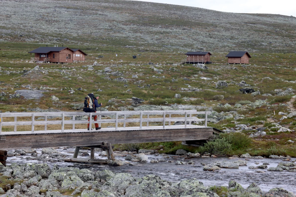
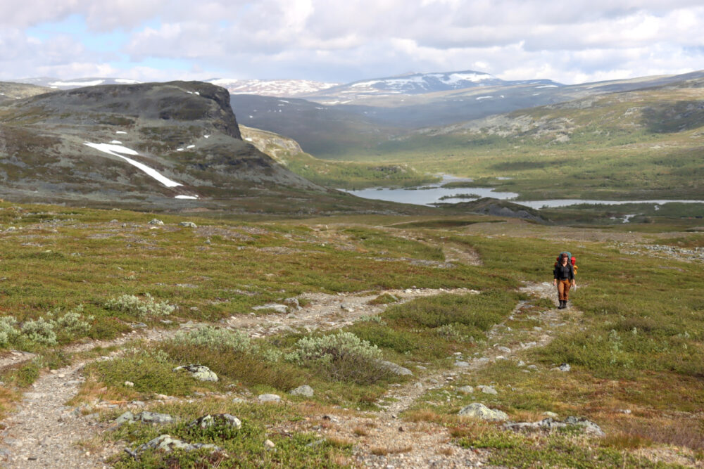
Morning brought the familiar rhythm of rain gear and the unwelcome arrival of mosquitoes. Summer had arrived early, which meant the snow had melted and river levels were manageable—a significant advantage for any Arctic trekker. After a lunch break at the Saarijärvi cabin, the path grew increasingly steep and rocky. At an elevation of 900 meters, the vegetation thinned out, giving way to a vast, barren boulder desert—a foretaste of the Halti summit. The wind bit hard, and the trek ended at the Kuonjarjoki cabin, the final point of mobile connectivity before reaching Halti.
June 25: The Beauty of Meekonjärvi
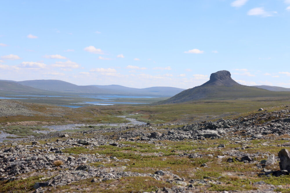
The route toward the Meekonjärvi valley offered a reprieve from the previous day’s jagged terrain. The landscape was a dramatic tableau of steep cliffs, lingering snow patches, and glistening blue waters. The highlight was the sight of Saivaara, a unique, flat-topped mountain with vertical walls. The day ended at Pitsusjärvi, where, despite the exhaustion, the cold waters of the lake provided a much-needed, if freezing, recovery soak to the soundtrack of long-tailed ducks.
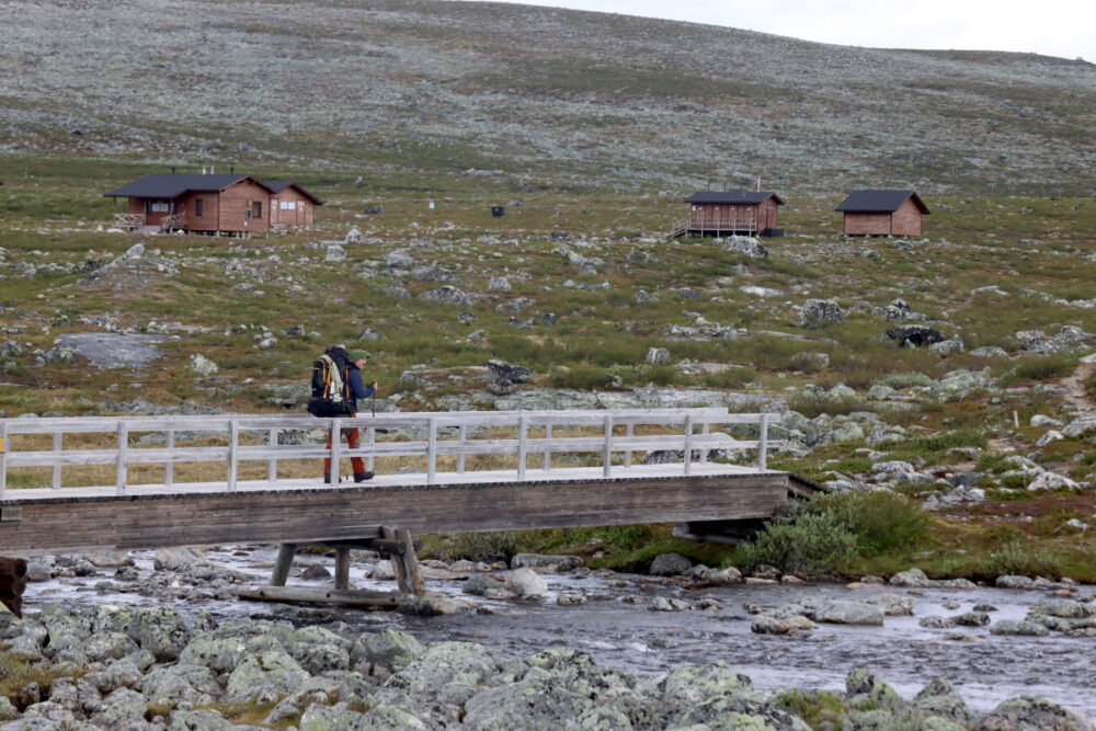
June 26: Reaching the Summit
The final push to Halti was a test of patience and balance. As the path neared the summit, massive boulder fields demanded careful navigation. At the Halti wilderness cabin, packs were lightened for the final ascent. Contrary to fears, the climb was surprisingly manageable. At the summit, the Arctic wind necessitated down jackets, a sharp reminder that snow had fallen here only days prior.
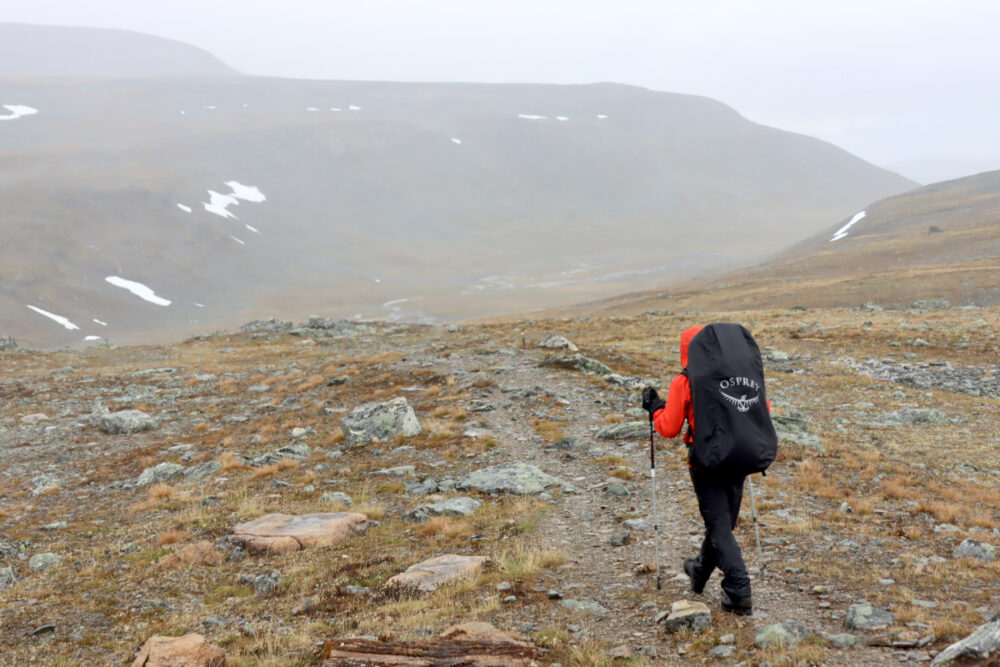
June 27–28: Weathering the Storm
Nature reminded us of its dominance on June 27, when a heavy downpour and gusting winds forced a day of shelter in the Halti cabin. When the weather cleared, plans to traverse the Urtasjoki valley were abandoned due to dangerously high water levels. Instead, the route circled the west side of Meekonvaara. This detour offered a spectacular view of the Bierfejohka river valley and allowed for a rare botanical discovery: the protected mountain arnica (Arnica angustifolia), glowing like miniature suns against the dark scree.
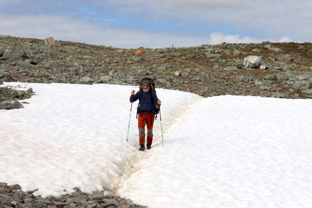
June 29–July 1: The Return Journey
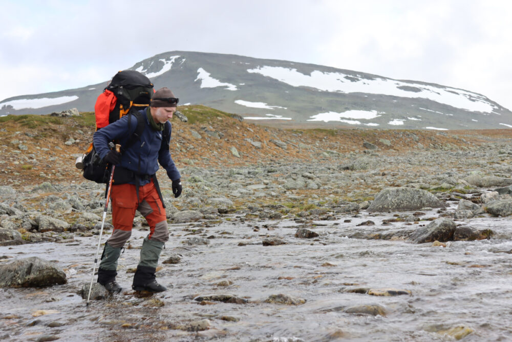
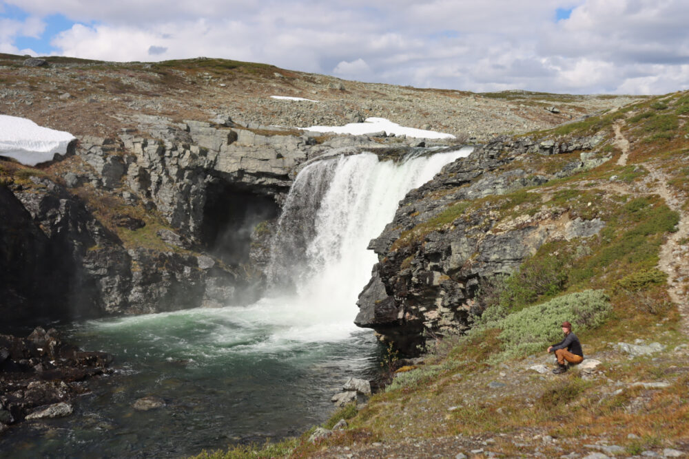
The trek back toward Kilpisjärvi was faster, as food supplies dwindled and the terrain sloped downward. However, the wilderness had one final test: a massive rainstorm on the night of June 30, which dumped 39mm of rain, turning the tundra into a network of temporary streams. The final stretch led through the Malla Strict Nature Reserve, passing the roaring Kitsiputous waterfall, before arriving back at the visitor center, marking the successful conclusion of the expedition.
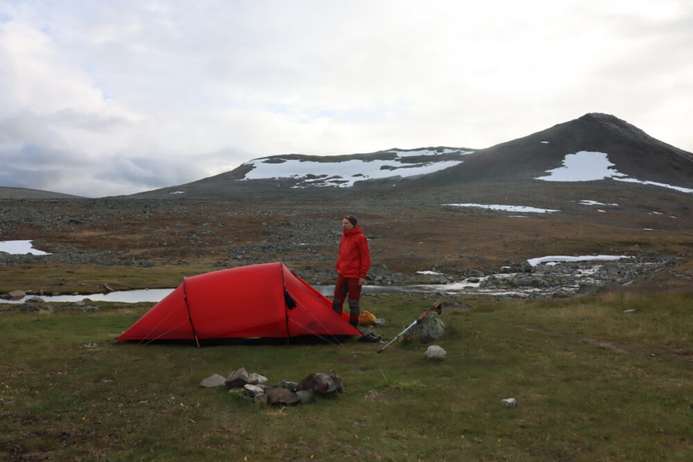
Supporting Data and Observations
Ecological and Environmental Metrics
- Elevation Dynamics: The route spans from roughly 470m at Kilpisjärvi to 1,324m at the Halti summit, with significant portions of the trail navigating the 800m–1,000m "boulder desert" zone.
- Precipitation: During the June 30 storm, 39mm of rain was recorded in a single night, which is significant for an Arctic climate where summer rain can lead to rapid, dangerous rises in river volume.
- Flora and Fauna: Observations included healthy populations of dotterels, arctic skuas, and lapland longspurs. Botanical surveys highlighted the presence of the endangered glacier buttercup (Ranunculus glacialis) and the rare mountain arnica, both of which are sensitive to human foot traffic and environmental changes.
Logistical Challenges
The Käsivarsi Wilderness is not a route for beginners. Key challenges identified include:
- Navigation: While the trail is marked with stone cairns, heavy fog can render these invisible, creating a high risk of disorientation in the boulder-strewn landscape.
- Water Crossings: The safety of the route is highly dependent on the "thaw season." High water levels can turn simple crossings into hazardous endeavors.
- Infrastructure: While cabins (both wilderness and bookable) exist at intervals of approximately 10 kilometers, they are not a substitute for proper tent equipment, as they can be full or unsuitable for certain weather conditions.
Implications for Future Trekkers
The Halti trek is a testament to the importance of "Leave No Trace" principles. The fragility of the high-altitude tundra means that off-trail walking can cause long-lasting damage to the lichen and sparse plant life.
Furthermore, the increasing popularity of the "Halti-summiting" trend has placed pressure on the existing infrastructure. Trekkers are strongly advised to:
- Be Self-Sufficient: Never rely solely on the availability of cabin space.
- Prioritize Safety: The weather in the Käsivarsi region is notoriously fickle. Always carry a physical map and compass, and have the ability to interpret weather patterns.
- Respect the Environment: The Arctic ecosystem is slow to recover. Staying on marked trails is not just a safety recommendation; it is an ecological necessity.
Official Perspective and Conservation
The Finnish Metsähallitus (Forestry Administration) continuously monitors the impact of tourism in the Käsivarsi region. With the rise of social media-driven tourism, there is a concerted effort to educate visitors on the difference between a "walk in the park" and an "Arctic expedition." Conservationists note that the biodiversity of the Käsivarsi region—including rare species like the mountain arnica—is a primary reason for the area’s protected status. Any increase in human footprint requires a corresponding increase in responsible management and visitor education to ensure that the "arm" of Finland remains a pristine, wild sanctuary.
The expedition served as a stark reminder: in the Arctic, the landscape dictates the schedule. From the biting mosquitoes of early summer to the freezing, rain-lashed nights at 1,000 meters, the Käsivarsi wilderness is a place that demands respect, preparation, and a deep appreciation for the raw, untamed forces of the natural world.