Jotunheimen is, quite arguably, the most aptly named sanctuary in the Nordic wilderness. Translated from the local Norwegian as the "Land of the Giants," this 1,151-square-kilometer expanse of high-altitude majesty serves as the crown jewel of Norway’s 47 national parks. It is a landscape defined by verticality and ancient ice, home to the country’s 23 highest peaks and a sprawling, complex network of glaciers that have carved the topography into a cathedral of granite and stone.
For the modern adventurer, Jotunheimen is not merely a destination; it is an endurance test and a visual odyssey. The park shelters a diverse range of wildlife, including herds of wild reindeer, elusive wolverines, lynx, and moose, all navigating a terrain that feels largely untouched by the frenetic pace of modern civilization. In late September 2022, I embarked on a three-day, 80-kilometer loop, a journey that serves as a masterclass in Arctic-alpine trekking. This report synthesizes the logistics, the physical demands, and the profound cultural heritage of this singular region.

Main Facts and Logistical Overview
To traverse the Jotunheimen Loop is to commit to a "moderate" but demanding itinerary. Spanning 80 kilometers (approximately 49.7 miles) with a total elevation gain of 3,941 meters (12,930 feet), the route is a cardiovascular challenge that rewards the prepared with unparalleled vistas of the Scandinavian highlands.

- Distance: 80 km (49.7 mi)
- Duration: 3 Days
- Difficulty: Moderate to Challenging (due to terrain and exposure)
- Total Elevation Gain: 3,941 m (12,930 ft)
- Start/Finish: Gjendesheim Mountain Hut
The trek begins in earnest with a boat crossing of Lake Gjende, a glacial lake whose turquoise waters are saturated with rock flour, providing a striking contrast to the darker, sapphire-hued lakes found elsewhere in the park. This boat ride is not merely a convenience; it is a tactical necessity that provides access to the western reaches of the park, specifically the Gjendebu Hut, the oldest lodge in the Norwegian Trekking Association (DNT) network, established in 1871.

A Chronology of the Journey
Day 1: The Gateway to the Valley
The expedition commences at the Gjendesheim pier. After a 45-minute ferry transit, the trek begins at the Gjendebu Hut. Heading west and then northwest, the trail follows the Storådalen Valley. This section is well-marked with the iconic red "T" symbols of the DNT and stone cairns that act as reliable beacons in the often-foggy alpine climate.

The initial phase winds through ancient birch forests before rapidly gaining altitude. At the 6-kilometer mark, the trail ascends steeply alongside the 60-meter-high Hellerfossen waterfall. The climb continues past a chain of sub-alpine lakes, culminating at the appropriately named Langvatnet ("Long Lake"). By the end of the first 20-kilometer push, one arrives at the Leirvassbu Hut, a private lodge known for its commitment to traditional Norwegian mountain cuisine—a menu that reflects the bounty of the land, featuring elk, reindeer, lamb, and wild-harvested berries.

Day 2: The U-Shaped Grandeur of Visdalen
The second stage, covering 16 kilometers, is the most forgiving of the loop. Departing Leirvassbu, the route passes the pyramid-shaped Kyrkja Peak, which offers a rewarding 4.5-kilometer side excursion for those with the legs for extra verticality. The descent into the Visdalen Valley is a highlight of the trek; the U-shaped valley floor is a tapestry of wildflowers and glacial melt streams, flanked by a phalanx of 2,000-meter peaks, including the formidable Store Hellstugutinden.

The day concludes at Spiterstulen, a former summer farm that has functioned as an alpine basecamp since 1881. It is here that many adventurers prepare for the ascent of Galdhøpiggen—at 2,469 meters, the highest peak in Scandinavia.

Day 3: The Skautflye Plateau and the Besseggen Spine
The final stage is the most demanding, covering 16 kilometers of high-plateau navigation. Leaving Spiterstulen, the path climbs steeply to a junction before traversing the rocky, windswept Skautflye Plateau. This is a landscape of stark beauty, offering clear views of the Veobrean glacier and the jagged Veotinden range.

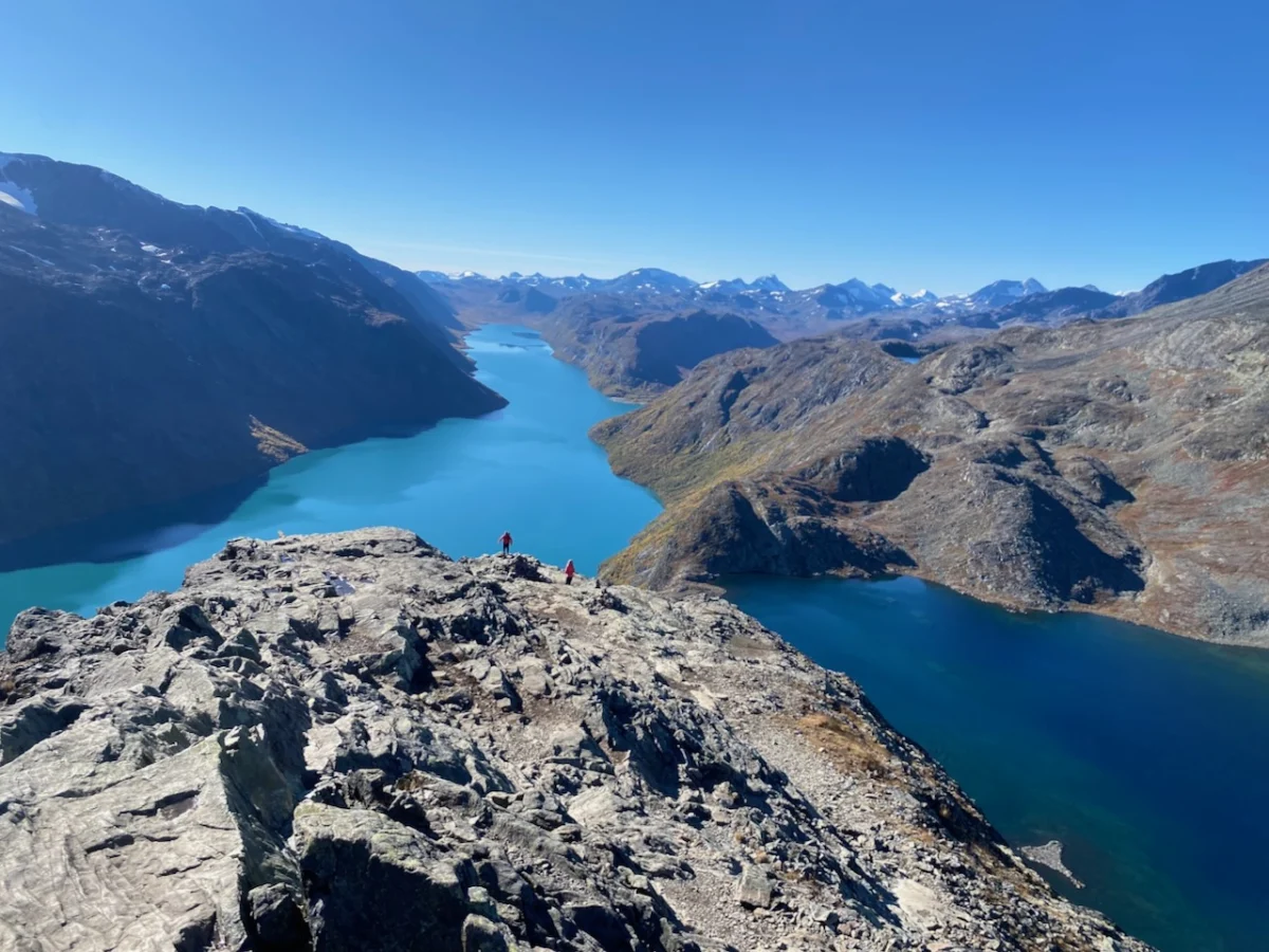
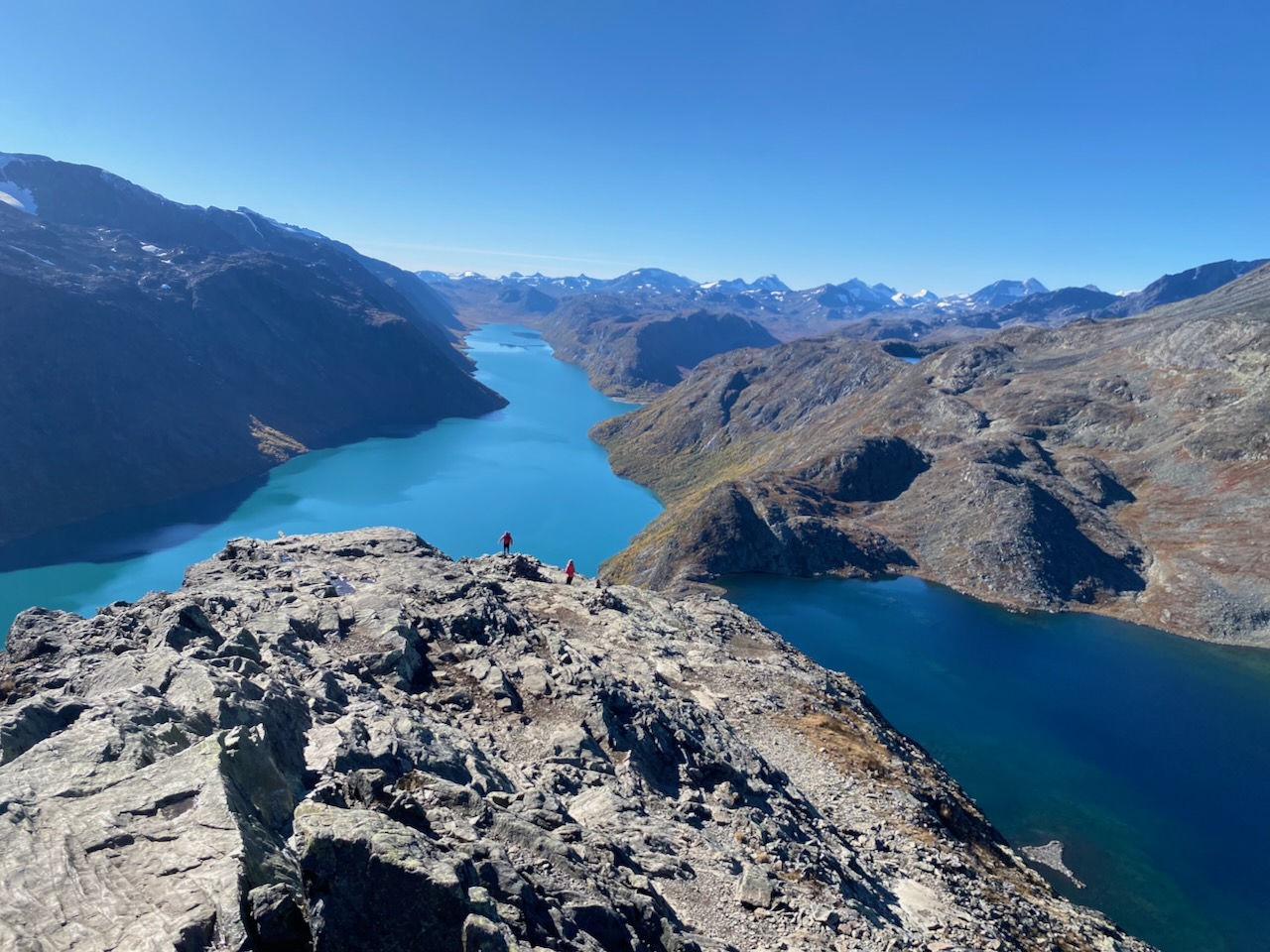
The descent into the Veodalen Valley is precipitous, leading toward the Veo River and the Glitterheim Hut. From here, the route climbs toward the Russvatnet lake, passing the sandy shores of the Sundodden peninsula. The final, iconic climax of the journey is the Besseggen Ridge. This knife-edged path, which separates the turquoise Lake Gjende from the deep blue Bessvatnet, represents the ultimate "scramble" of the loop. It is a place of high exposure and immense beauty, demanding respect and steady footing before the final six-kilometer descent back to the Gjendesheim starting point.

Supporting Data and Technical Insights
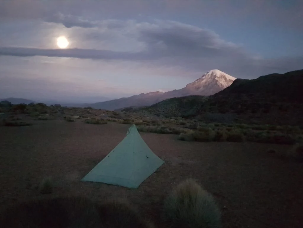
The Jotunheimen Loop is characterized by "fast and light" potential but requires robust gear due to the rapid onset of weather changes. My own trek in late 2022 was conducted as research for Wanderlust Nordics, and the experience underscored the importance of equipment redundancy. Whether utilizing a MLD Duomid for shelter or layering technical wools, the ability to manage thermal regulation is paramount.

The GPS data for the loop, while helpful, serves as a secondary layer to the excellent physical signage provided by the DNT. The trail is designed to accommodate a broad spectrum of hikers, yet the presence of the "emergency hut" at Spiterstulen—equipped with gas cookers and charging stations—highlights the Norwegian philosophy of safety and community. This infrastructure is a cornerstone of the Nordic trekking experience, fostering a communal environment where a solo backpacker from the Netherlands, a group of English climbers, and a Chilean mountaineer can share a meal and a story.

Cultural Implications: The Literary Legacy
The Besseggen Ridge is more than a geographic feature; it is a literary landmark. Its prominence in Norwegian culture was cemented by Henrik Ibsen in his 1867 masterpiece, Peer Gynt. The protagonist’s harrowing recount of riding a reindeer along the "Gendin-Edge" captures the terrifying beauty of the ridge:

"Nigh on four miles long it stretches sharp before you like a scythe… you can see, both right and left, straight into the tarns that slumber, black and sluggish, more than seven hundred fathoms deep below you."

This intersection of geography and literature transforms the act of hiking into a pilgrimage of sorts. When a trekker stands on that narrow spine, they are walking through a history that is woven into the very fabric of the national identity.

Implications for Future Conservation
The popularity of the Jotunheimen Loop, particularly the Besseggen Ridge section, necessitates a careful balance between tourism and conservation. As an increasing number of international travelers seek out these "bucket list" trails, the strain on the trail network and the local ecosystem grows. The DNT’s model of sustainable hut management and well-marked, fixed trails is an effective strategy for funneling foot traffic, thereby minimizing the impact on the more sensitive, off-trail wilderness areas.

The presence of the reindeer herds in the Veodalen Valley serves as a constant reminder that this land is primarily a habitat, not just a playground. Hikers are guests in this realm, and the continued success of the park depends on the adherence to "Leave No Trace" principles. The communal nature of the huts, where information about weather, trail conditions, and wildlife is exchanged, serves as an informal educational network that promotes responsible behavior among the hiking population.

Conclusion
The Jotunheimen Loop is a profound testament to the power of the Scandinavian wilderness. It challenges the body, captivates the mind, and offers a glimpse into a world where the earth’s crust is still being shaped by the slow, relentless grind of ice. For the seasoned veteran, it is a familiar, comforting embrace; for the novice, it is an initiation into the life-altering potential of the Great Outdoors. As I reflect on my time in the "Land of the Giants," the most enduring memory is not of the physical exertion or the distance covered, but of the shared humanity found in the simple act of sitting down to a meal with strangers, united by the singular, quiet majesty of the mountains.