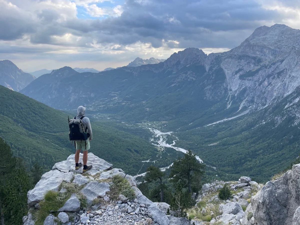
Tucked away in the heart of central Norway, the Trollheimen Mountains represent one of the most ecologically and historically diverse landscapes in the Nordic region. Often overshadowed by the more famous fjords to the west or the dramatic peaks of Jotunheimen, Trollheimen—which translates poetically to "Home of the Trolls"—offers a raw, unfiltered wilderness experience. It is a land where ancient woodlands, crystalline glacial lakes, and jagged, snow-dusted summits converge, creating a sanctuary for those who seek the silence of the high fells.

For the intrepid hiker, the "Trollheimen Triangle" serves as the definitive introduction to this region. It is a 58-kilometer circuit that balances the challenge of alpine exposure with the comfort of Norway’s legendary mountain hut system. As explored in Wanderlust Nordics: Exploring Trails in Scandinavia, this loop captures the essence of a landscape shaped as much by folklore as by the persistent grind of glaciers over millennia.

Main Facts: The Anatomy of a Classic
The Trollheimen Triangle is not merely a trail; it is an immersion into a unique transition zone between marine and alpine ecosystems. The route typically requires 2 to 3 days to complete, depending on pace and weather conditions.

- Total Distance: 58 kilometers (36 miles)
- Elevation Gain: 2,720 meters (8,924 feet)
- Difficulty: Moderate (Requires fitness for sustained climbs and navigation over uneven, rocky terrain)
- Primary Hub: Gjevilvasshytta mountain hut (accessible via a 30-minute drive from the regional transit hub of Oppdal)
- Historical Significance: The region is home to sites dating back to the Stone and Iron Ages, including ancient burial mounds and traditional, turf-roofed farmhouses that offer a glimpse into early Scandinavian life.
Chronology of the Trek: A Stage-by-Stage Breakdown
Stage One: The Ascent from Gjevilvasshytta
The circuit begins at the historic Gjevilvasshytta, a mountain lodge established in 1819. The journey commences in a counter-clockwise direction, heading toward the Jøldalshytta hut. The first 21 kilometers (13 miles) take the hiker through the lush birch forests of Gjørldalen Valley.

Five kilometers into the hike, the canopy thins, and the trail emerges above the treeline. The path then ascends into a wide, windswept saddle, passing beneath the imposing Høghea Peak (1,308 meters). The descent into the Høgdalen Valley is characterized by marshy, lake-dotted terrain. At the 11-kilometer mark, hikers cross the Minnilla River—a vital navigational waypoint—before trekking across rolling fells toward the Skrikhøa Peak (1,061 meters). From this vantage, the trail provides expansive views over Gammelsæterdalen Valley before terminating at Jøldalshytta, which sits in serene solitude overlooking Jølvatnet Lake.

Stage Two: The Choice of Paths
The transit from Jøldalshytta to Trollheimshytta presents a quintessential Norwegian hiking dilemma: the choice between high-altitude drama and valley-bottom beauty.

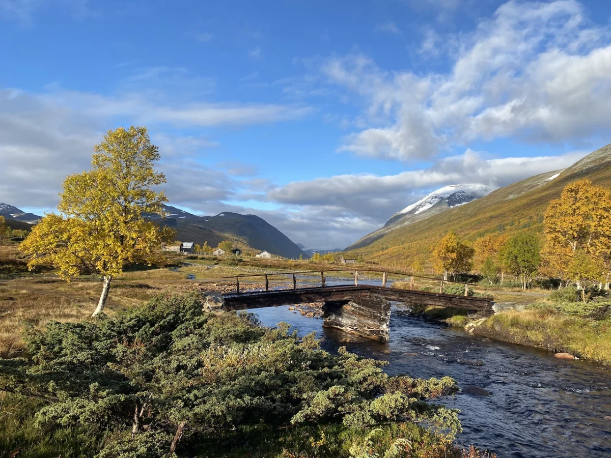
For those blessed with clear weather, the high traverses over Geithøtta (1,316 meters) or the formidable Trollhetta (1,616 meters) offer some of the most spectacular panoramas in Central Norway. However, the region is notorious for its rapid meteorological shifts. When low clouds and rain persist, many hikers opt for the 16-kilometer (9.9-mile) valley route following the Svartåa River. This path is a study in Nordic aesthetics: storybook bridges, vibrant autumnal meadows, and clusters of traditional huts that look as though they have been plucked from a folk tale.

Stage Three: The Final Ascent and Return
The concluding 21-kilometer leg is widely considered the most demanding. Leaving Trollheimshytta, the trail crosses the Slettåa River before beginning a grueling, technical climb. Over the next three kilometers, the trail gains roughly 700 meters, zig-zagging up rocky terraces to reach the summit of Skallen (1,226 meters).

Beyond Skallen, the landscape transforms into the rocky, tarn-streaked plateau of Mellomfjellet. After passing the shore of Fossådalsvatnet Lake, the trail climbs toward the Riarskaret Pass (1,307 meters), the highest point of this stage. The subsequent descent leads through the austere beauty of the high fells before re-entering the expansive, boggy floor of the Gjørldalen Valley, eventually looping back to the trailhead near Gjevilvasshytta.

Supporting Data: Infrastructure and Sustainability
The viability of the Trollheimen Triangle relies heavily on the Den Norske Turistforening (DNT) network. These huts are not mere shelters; they are essential nodes in a social and logistical fabric that has supported hikers for over a century.

- Accommodation Logistics: Huts operate on a tiered system. Some are full-service with staffed kitchens, while others are "self-service" (selvbetjent), requiring hikers to use provided food supplies and pay via an honor system or mobile application.
- Environmental Protection: Because the trail traverses the Svartåmoen Nature Reserve and fragile alpine tundras, trail etiquette is strictly enforced. Hikers are encouraged to remain on marked paths to prevent soil erosion, a critical concern given the region’s short growing season.
Official Perspectives: The Role of the DNT
The DNT (Norwegian Trekking Association) views trails like the Trollheimen Triangle as vital to the "Friluftsliv" culture—the Norwegian philosophy of living in harmony with nature. Local authorities emphasize that while the region is "under-the-radar" for international tourists, it is heavily trafficked by locals, particularly during the autumn foliage season.

"The Trollheimen region represents a delicate balance between human history and ecological preservation," says a spokesperson for the local mountain management board. "Our goal is to keep the trail accessible while ensuring that the infrastructure—bridges, markers, and huts—is resilient enough to handle the increasing, albeit moderate, influx of hikers who seek the solitude this region provides."

Implications: A Changing Climate for Hikers
The "Home of the Trolls" is not immune to the broader implications of global climate change. Recent years have seen increased rainfall and unpredictable storm patterns in the Trollheimen range. For the hiker, this means that the "moderate" difficulty rating can be deceptive.

- Weather Preparedness: As evidenced by the author’s own experience—navigating through heavy rain and wind—the trail requires high-quality, weather-resistant gear. The "ironic chuckle" in the face of a downpour is a rite of passage, but it highlights the necessity of proper emergency protocols.
- Infrastructure Resilience: Increased precipitation leads to higher water levels in mountain rivers. The footbridges, while robust, are subject to periodic inspections to ensure they remain safe during late-season runoff.
- The Future of Tourism: While the Trollheimen Triangle remains a quiet gem compared to the "Big Three" of Norwegian hiking (Preikestolen, Trolltunga, and Kjeragbolten), its growing profile in literature and social media suggests an uptick in traffic. This will likely necessitate future upgrades to waste management and trail maintenance to preserve the pristine nature of the Svartåmoen Reserve.
Final Reflections
The Trollheimen Triangle is a reminder that the best travel experiences are often those that require a bit of struggle. Whether you are navigating the steep slopes of Skallen or enjoying a warm, dry respite in the Trollheimshytta emergency shelter while the wind howls outside, the trail offers a profound connection to the land. It is a place that demands respect, rewards persistence, and leaves the hiker with a deeper understanding of why the Norwegians have, for centuries, called these mountains the home of the trolls—a place where the wild still reigns supreme.

Disclosure: This post contains affiliate links, which means The Hiking Life receives a small commission if you purchase an item after clicking on one of the links. This comes at no additional cost to the reader and helps to support the website in its continuing goal of creating quality content for backpackers and hikers.