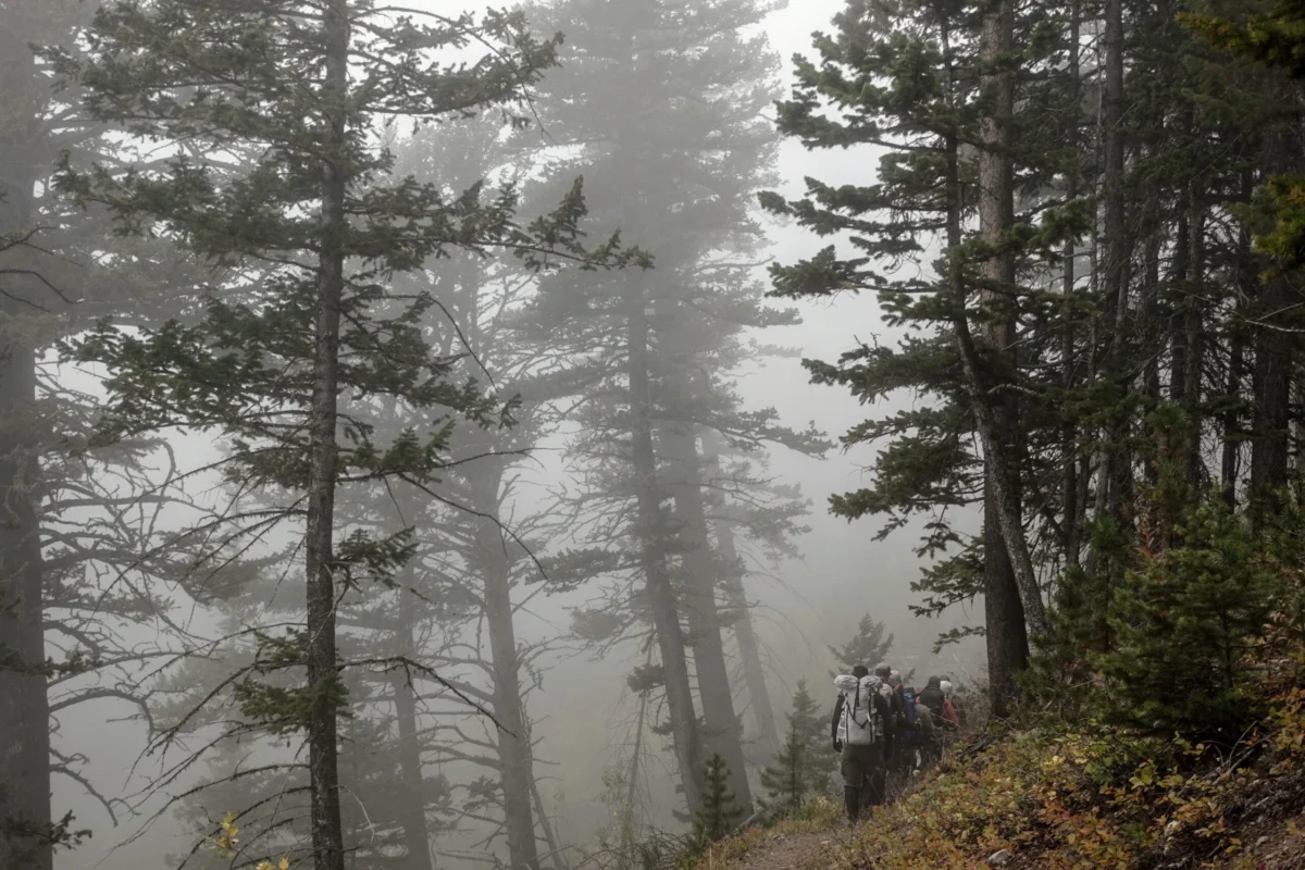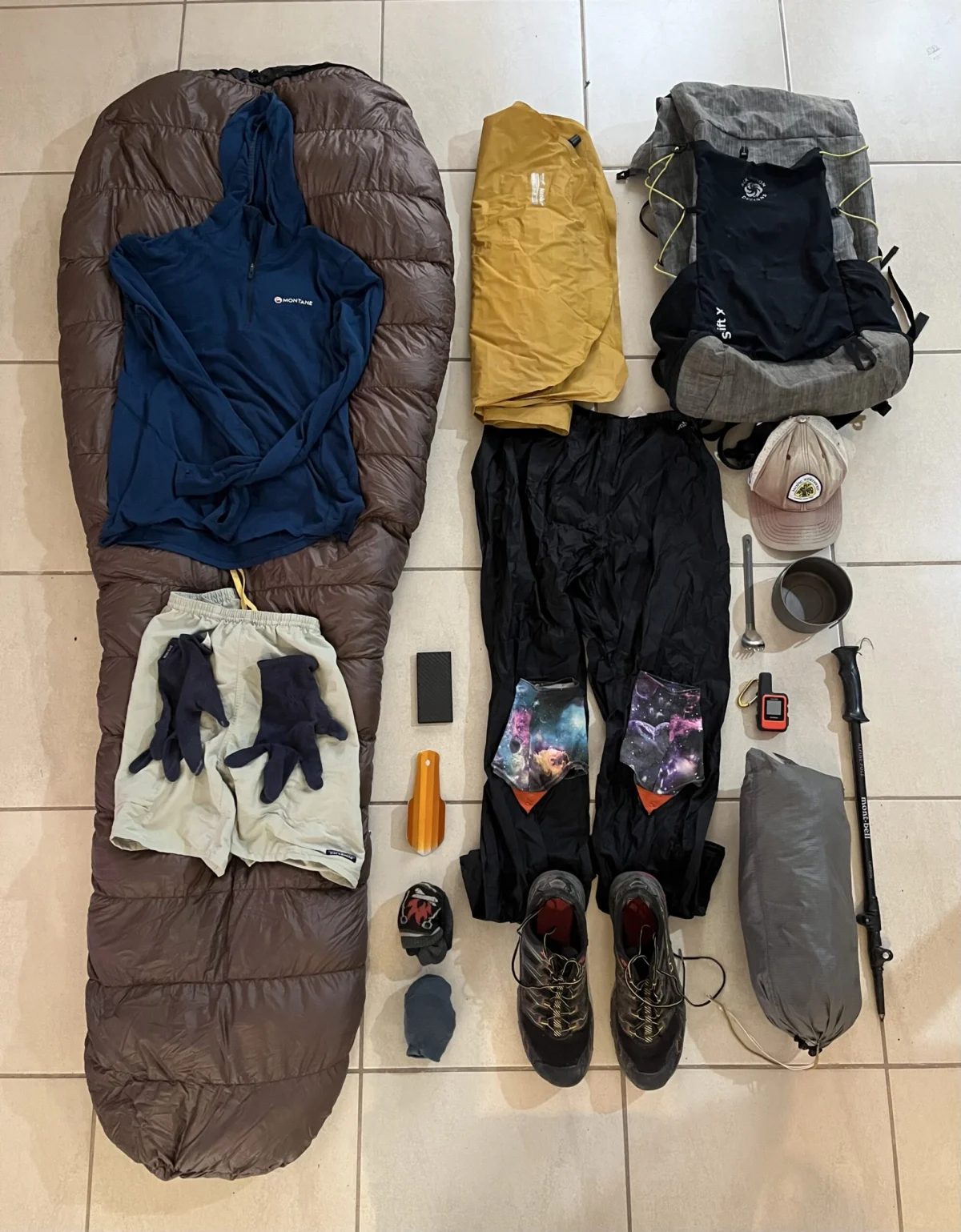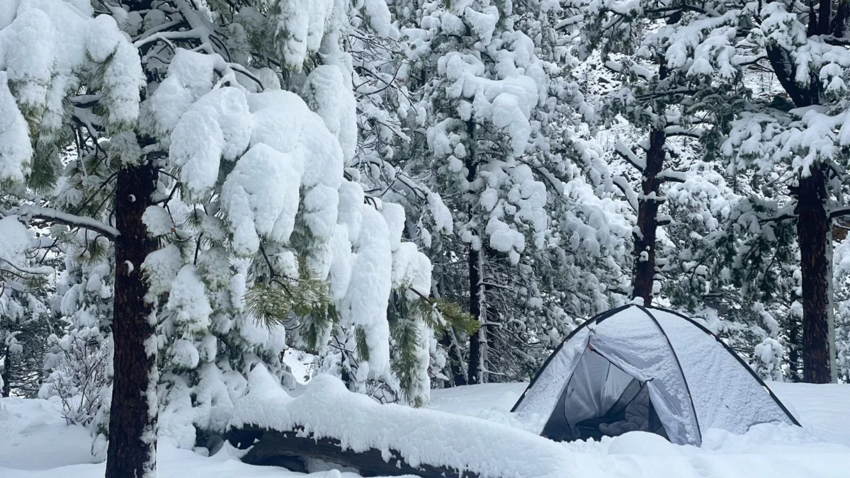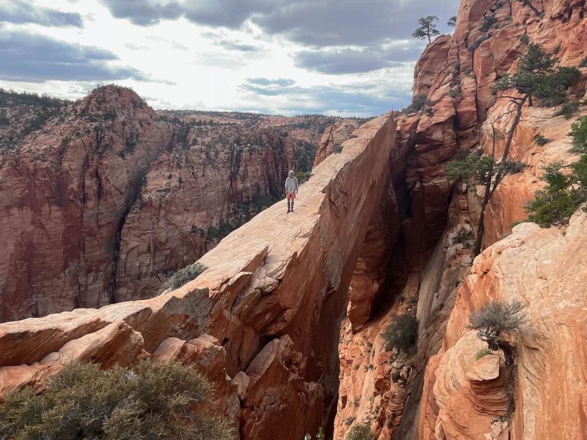
From late April to early June 2025, veteran long-distance hikers Kate "Swept Away" Pickett and her companion completed a monumental 800-mile (1,287 km) trek across the rugged expanse of southern Utah. This journey, a deliberate exploration of both well-trodden paths and remote wilderness, served as an intimate study of the state’s complex topography. By the time they reached the finish line at Hovenweep National Monument—situated on the border with Colorado—the duo had spent seven weeks traversing the high plateaus, deep-cut canyons, and arid badlands that define the American Southwest.
Main Facts: A Journey of Geological Discovery
The expedition, dubbed the "Southern Utah Traverse," was characterized by its departure from traditional long-distance routes. While both Pickett and her partner were already intimately familiar with Utah’s landscapes—having previously completed the iconic Hayduke Trail—this specific endeavor was driven by a curiosity for the unknown.

"The primary motivation was the opportunity to experience parts of the state that neither of us had previously visited," Pickett noted. The route was far from a linear trail; it was a complex mosaic of cross-country navigation, 4WD tracks, ancient riverbeds, and sparse stretches of asphalt. The pair prioritized geological and historical fascination over the efficiency of the route, often choosing the most challenging terrain to witness firsthand the "red rock wonders and archeological gems" that have made Utah a pilgrimage site for hikers worldwide.

Chronology: Seven Weeks in the Wilderness
The traverse was organized into eight distinct stages, with each segment tied to strategic resupply points. The journey commenced on the Nevada border, west-southwest of Enterprise. From these modest beginnings, the route unfolded into a rigorous seven-week endurance test.

Stage Breakdown and Geographical Highlights
The itinerary was designed to capture the diversity of the region:

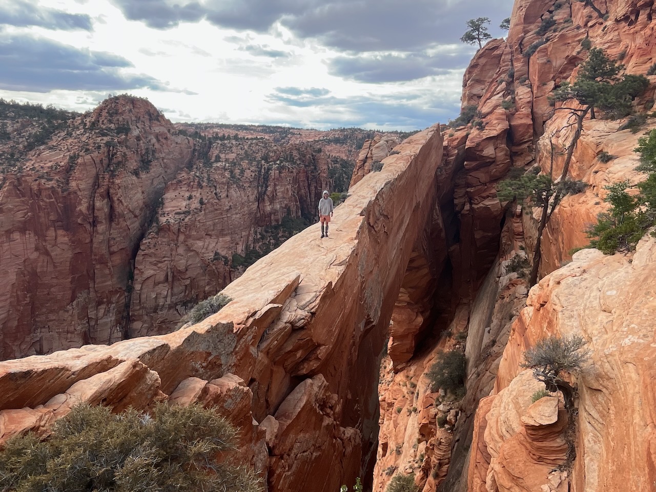
- The Canaan Mountain Wilderness: A standout for the explorers, this area offered high-altitude vistas and the spectacular "White Domes." The encounter with the wind-sculpted "Eye of Heaven" (Water Canyon Arch) served as an early highlight of the trip.
- Bryce Canyon National Park: The team navigated the famous Peekaboo Loop, balancing the high-traffic beauty of the park with careful, permit-conscious camping.
- Grand Staircase-Escalante: The hikers utilized the Interagency Office in Escalante to finalize permits before delving into the labyrinthine beauty of Death Hollow and the sandy, remote benches that offered both isolation and serenity.
- Bears Ears National Monument: This was a significant focus for the team. While they had previously explored the northern sections of the monument, this trip allowed for a deep dive into the southern archeological sites, including the hauntingly beautiful "Perfect Kiva" in Bullet Canyon and the intricate petroglyph displays at the Procession Panel on Comb Ridge.
The journey concluded at Holly Tower in Hovenweep, just a short walk from the Colorado border, marking the successful completion of an 800-mile loop of discovery.

Supporting Data: Logistics, Water, and Survival
The success of a hike of this magnitude relies heavily on logistical precision. In the arid environment of southern Utah, water is the primary limiting factor.

Water Management
The pair employed a multi-faceted approach to hydration. Relying on USGS map layers to identify tanks, springs, and windmills, they also utilized specialized community-sourced data, such as the digital maps provided by Jamal Green. Given the unpredictable nature of desert water sources, the hikers often carried a maximum capacity of 9 to 10 liters.

"We were assisted by a couple of timely storms," Pickett acknowledged. These weather events filled potholes and revived stream beds, providing a critical safety margin that allowed the team to cross otherwise dry stretches of the Waterpocket Fold.

Resupply and Nutrition
Resupply was handled through a combination of mail drops and local procurement. Friends and family played an integral role, holding packages in key towns such as St. George, Kanab, and Escalante. For the challenging, isolated stretches—specifically the long gap between Escalante and Bullfrog Marina—the team pre-cached supplies at the Burr Trail Road.

While the physical toll was high, the psychological benefit of town stops was significant. The team documented their favorite stops, noting that local eateries provided a vital morale boost, even when occasional scheduling conflicts meant the difference between a hot meal and a missed opportunity.

Official Responses and Regulatory Compliance
Traversing such a vast array of protected lands requires strict adherence to federal and state regulations. The Southern Utah Traverse involved navigating multiple jurisdictions, including National Parks and National Monuments.

The team utilized the America the Beautiful entrance pass to access the protected areas, but they emphasized that the permits themselves were a logistical hurdle that required careful planning.

- Bryce Canyon: Camping was restricted to designated areas, forcing the team to camp just outside boundaries for portions of their stay.
- Grand Staircase-Escalante & Capitol Reef: Permits were obtained via the Interagency Visitor Center in Escalante, a standard procedure for those venturing into these protected monuments.
- Bears Ears: Access to these highly sensitive archeological zones was managed through the Recreation.gov system, ensuring that the hikers were compliant with rules regarding the preservation of cultural artifacts.
The adherence to these protocols reflects a growing trend in the hiking community toward "Leave No Trace" principles, particularly in areas where fragile biocrusts and irreplaceable ancestral structures are present.

Implications: The Future of Long-Distance Hiking
The Southern Utah Traverse serves as more than just a personal accomplishment; it stands as a case study in how modern hikers can engage with the American landscape. By eschewing the "fast and light" mentality in favor of a deeper, slower immersion, Pickett and her partner have highlighted the value of "slow exploration."

The Call for Responsible Exploration
As interest in the American Southwest continues to surge, the implications of such long-distance routes are significant. The need for accurate water data, respect for sensitive archeological sites, and rigorous permit compliance is more vital than ever. The team’s commitment to documenting their route, including their challenges with water and their successes in finding lesser-known grottos in Stevens Canyon, provides a roadmap for future generations of hikers.

Lessons in Resilience
Perhaps the most lasting implication of the 800-mile journey is the reminder of the resilience required for such an undertaking. Whether it was the "Lizard Route" ascent from Grand Gulch or the quiet, meditative walks atop the Wingate cliffs, the journey underscored that the wilderness is not something to be conquered, but something to be understood.

"Selecting a handful of highlights from a long hike across Utah is like trying to pick the best pub in Ireland," Pickett reflected. "A nigh-on impossible task that’s nonetheless fun to research."

As the pair prepares to publish a series of stand-alone posts covering each of the eight stages in greater detail, the broader hiking community will have a new, comprehensive resource. This project promises to blend practical route descriptions with the philosophical musings that only a thousand-mile walk can provide. The Southern Utah Traverse stands as a testament to the fact that, even in an era of global connectivity, there are still vast, quiet corners of the map waiting to be walked, understood, and preserved.