Into the Land of the Giants: Navigating Norway’s Jotunheimen Loop
Posted on by
Jotunheimen National Park is, by any standard, the crowning jewel of the Scandinavian wilderness. Aptly named in the local tongue as the "Land of the Giants," the park encompasses 1,151 square kilometers of raw, glacial-carved topography. It is home to Norway’s 23 highest peaks, including the formidable Galdhøpiggen, and serves as a vital sanctuary for arctic wildlife, including reindeer, moose, wolverines, and lynx. For the seasoned trekker, the "Jotunheimen Loop"—a challenging 80-kilometer circuit—represents the definitive Norwegian mountain experience.
Main Facts and Overview
The Jotunheimen Loop is a high-altitude expedition that demands both physical endurance and a respect for shifting Nordic weather. Spanning three days of vigorous trekking, the route covers a total elevation gain of approximately 3,941 meters (12,930 feet).
The Expedition at a Glance:
Total Distance: 80 km (49.7 miles)
Duration: 3 days
Difficulty: Moderate to Strenuous
Total Elevation Gain: 3,941 m (12,930 ft)
Start/Finish: Gjendesheim Mountain Hut
The trail is characterized by its well-marked path, denoted by the iconic red "T" symbols maintained by the Norwegian Trekking Association (DNT). Hikers traverse everything from lush birch forests to high-altitude plateaus, boulder-strewn passes, and the razor-thin, exposed spine of the legendary Besseggen Ridge.
Chronology of the Journey: A Three-Day Odyssey
Day 1: The Gateway to the Giants
The journey begins with a transit across the emerald-hued waters of Lake Gjende. A 45-minute ferry ride from Gjendesheim deposits hikers at the Gjendebu Hut, a historic site established in 1871. From there, the trail heads northwest into the Storådalen Valley.
The initial ascent is a sensory transition; hikers move from the sheltered lower birch woodlands into the stark, open tundra. At the 6-kilometer mark, the trail climbs sharply past the Hellerfossen waterfall. The remainder of the day is spent navigating a chain of glacial lakes, most notably Langvatnet, before arriving at the privately operated Leirvassbu Hut. This lodge serves as a crucial mid-point for refueling, offering traditional Norwegian mountain cuisine—a menu defined by local venison, elk, lamb, and wild-harvested berries.
Day 2: Through the Heart of the U-Shaped Valleys
The second stage, spanning 16 kilometers toward Spiterstulen, is arguably the most visually expansive segment of the loop. Leaving Leirvassbu, the route passes the base of the pyramid-shaped Kyrkja Peak. The descent into the U-shaped Visdalen Valley offers a panorama of 2,000-meter-plus peaks, including Store Bukkeholstinden and Styggehøe.
Spiterstulen, a former summer hamlet turned mountain base since 1881, acts as the nerve center for those attempting the nearby ascent of Galdhøpiggen (2,469m). While the loop itself bypasses the summit, the presence of the mountain looms over the valley, creating a constant reminder of the sheer scale of the terrain.
Day 3: The Skautflye Plateau and the Besseggen Ridge
The final leg is a 16-kilometer push that begins with a steep climb out of the valley toward the rocky Skautflye Plateau. The terrain here is austere and moon-like, offering distant views of the Veobrean glacier. The highlight of the day—and perhaps the entire trip—is the Velsglupen pass, which leads to a dramatic descent into the Veodalen Valley, where herds of wild reindeer are frequently sighted.
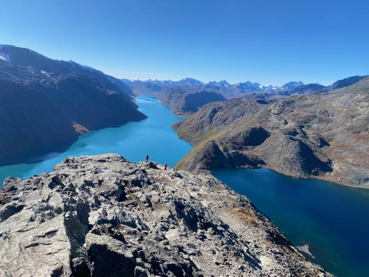
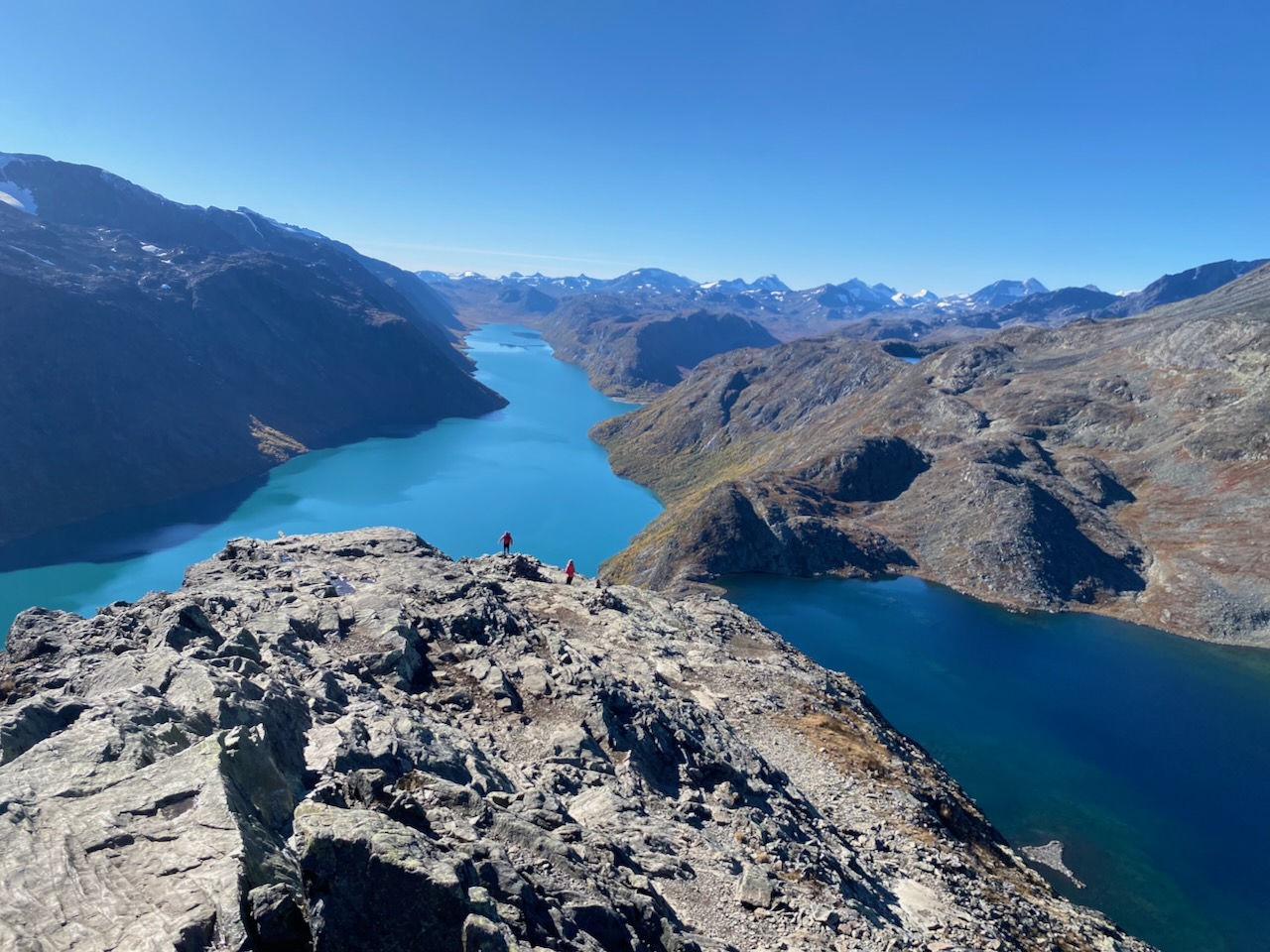
The finale involves the crossing of the Besseggen Ridge. This is a bucket-list scramble, famous for its exposure and the breathtaking contrast between the turquoise waters of Lake Gjende and the deep, sapphire blue of Lake Bessvatnet. The trail concludes with a final six-kilometer descent back to the Gjendesheim Hut.
Supporting Data and Logistics
Successfully navigating the Jotunheimen Loop requires careful preparation. As with any high-altitude environment, the gear list must prioritize versatility and weight management.
Essential Logistical Considerations:
Navigation: While the DNT red "T" markers are reliable, GPS data remains essential for inclement weather, where visibility can drop to near zero within minutes.
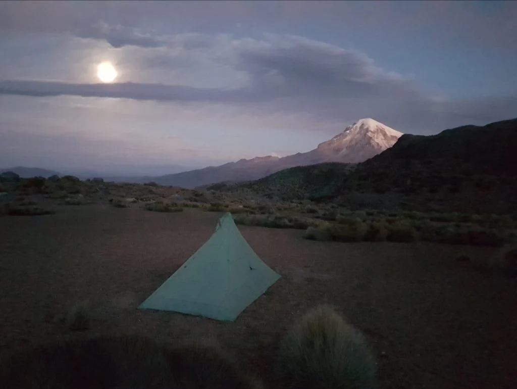
Accommodation: The DNT hut system offers full-service lodging, but many experienced hikers opt for lightweight camping. The park allows for "allemannsretten" (the right to roam), permitting camping provided hikers maintain a respectful distance from private dwellings and sensitive flora.
Cuisine: While huts offer hearty meals, self-sufficient hikers must pack high-calorie, dehydrated rations that can withstand the moisture and cold of the late summer season.
Official Perspectives and Cultural Significance
The Jotunheimen region is not merely a recreational area; it is a pillar of Norwegian national identity. This is most clearly illustrated by the inclusion of the Besseggen Ridge in the 1867 Henrik Ibsen play, Peer Gynt. The protagonist’s harrowing description of the "Gendin-Edge" solidified the mountain’s status in literature and folklore:
"Nigh on four miles long it stretches sharp before you like a scythe… Down o’er glaciers, landslips, scaurs, down the toppling grey moraines, you can see, both right and left, straight into the tarns that slumber, black and sluggish, more than seven hundred fathoms deep below you."
This cultural weight draws thousands of hikers annually, creating a unique "Alpine Congregation." In the common areas of the mountain huts—specifically the well-equipped emergency quarters at Spiterstulen—one finds a melting pot of global mountaineering culture. Whether it is a group of English climbers chasing the summit of Galdhøpiggen, a Dutch ultralight enthusiast testing gear, or a Chilean trekker sharing stories of the Andes, these huts serve as hubs for international camaraderie.
Implications for Future Exploration
The growing popularity of the Jotunheimen Loop carries significant implications for trail management and environmental conservation. As "Wanderlust" tourism increases, the strain on the fragile arctic ecosystem becomes a primary concern for the Norwegian authorities.
Environmental Impact: The increase in foot traffic necessitates a strict adherence to "Leave No Trace" principles. The delicate tundra vegetation, once damaged, can take decades to recover.
Safety and Infrastructure: With the rise in inexperienced hikers attempting the Besseggen Ridge, there is a renewed focus on safety briefings and the maintenance of the emergency hut network. These facilities are not just conveniences; they are life-saving infrastructure in an environment that can turn lethal in an afternoon.
Climate Change: Glacial retreat is visible across the Jotunheimen range. Observations from repeat visitors over the last two decades confirm that the landscape is evolving, with retreating ice sheets altering the difficulty and safety of traditional high-route passages.
For those inspired to explore the Nordic trails, this region offers a rare opportunity to connect with a landscape that remains largely untamed. Whether you are a newcomer to the sport or a seasoned veteran of global treks, the "Land of the Giants" serves as a profound reminder of the insignificance of man against the backdrop of deep time and geological grandeur. As captured in the recently published Wanderlust Nordics, the trail is not just a destination; it is a dialogue with the mountains themselves.
Introduction The ultralight backpacking world is currently witnessing a push toward "refined" frameless designs. At the forefront of this movement is the Durston Wapta 30. […]
In the insular, sweat-stained world of long-distance trekking, certain aphorisms have become scripture. Phrases like “hike your own hike,” “the trail provides,” “you pack your […]