The call of the Arctic wilderness is a siren song for any seasoned hiker, but few routes in Finland carry the prestige and the physical challenge of the trek to Halti, the highest point in the country. Standing at 1,324 meters above sea level, Halti sits on the border of Finland and Norway in the Käsivarsi Wilderness Area. It is a land of stark, glacial beauty, unpredictable weather, and ancient geological formations.
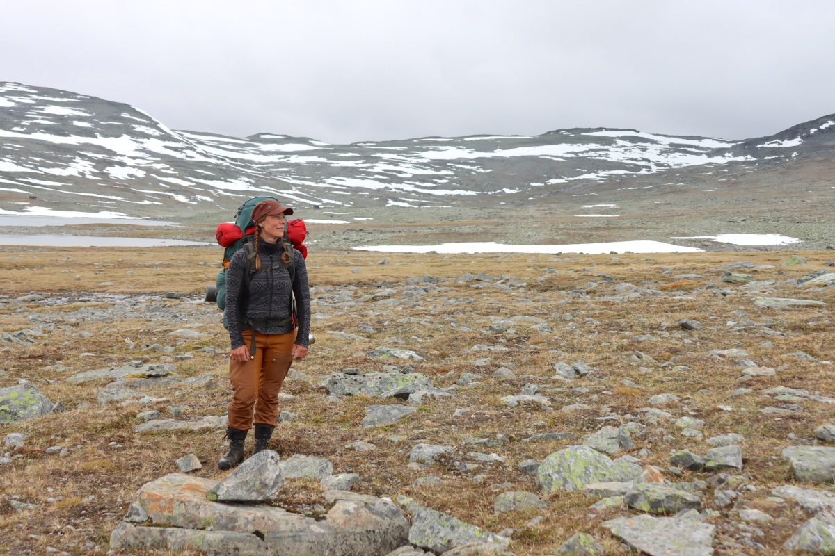
This report documents a nine-day expedition into this northern frontier, detailing the realities of traversing one of Europe’s most remote landscapes during the onset of the peak summer season—a time characterized by the "rääkkä" (the period of intense mosquito activity) and the dramatic, shifting weather patterns that define the northern fells.
Main Facts: The Käsivarsi Wilderness Area
The Käsivarsi Wilderness Area, located in the northwestern tip of Finland, is the only region in the country where the landscape transitions into true high-alpine tundra. Unlike the forested fells of central Lapland, Käsivarsi is defined by its treeless terrain, expansive rocky barrens known as rakka, and a high concentration of mountain flora.
- Geographic Context: The route to Halti from Kilpisjärvi is roughly 55 kilometers one way, though most hikers extend their journey by exploring the surrounding valleys.
- Logistics: The journey begins at the Kilpisjärvi Visitor Centre. Public transport via bus from Rovaniemi is the standard arrival method for international and domestic hikers.
- The Challenge: The primary difficulty lies in the combination of heavy pack weights (necessary for multi-day food supplies), the rugged and uneven rakka terrain, and the volatile Arctic climate.
A Chronology of the Expedition
June 23: The Ascent Begins
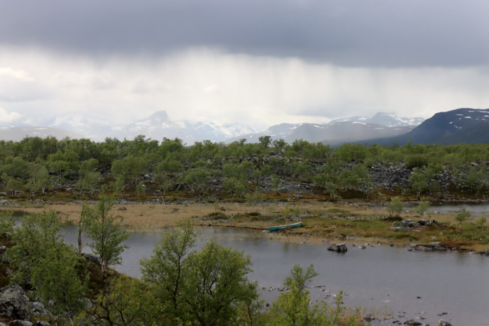
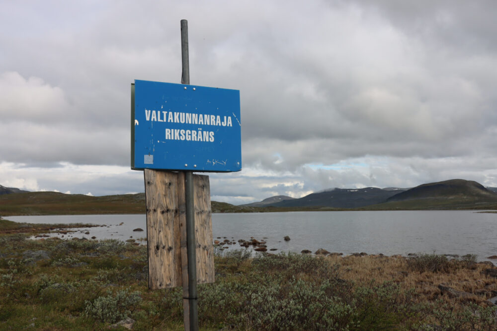
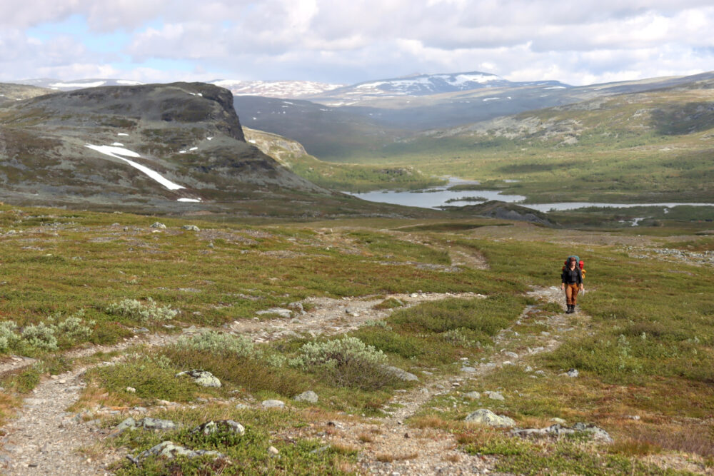
The journey began with an overnight train to Rovaniemi, followed by a bus transfer that arrived in Kilpisjärvi at 17:30. With a 26-kilogram pack—heavy with ten days of provisions—the climb toward the Tsahkaljärvi lake was an immediate test of endurance. As the tree line receded, the true alpine environment revealed itself. The temperature hovered at a brisk 10°C, and the horizon was already darkening with rain clouds drifting in from Norway and Sweden. The first night was spent just across the Norwegian border, where the haunting call of a loon echoed across the lake.
June 24: Into the Rääkkä
Morning brought the first real encounter with the season’s challenges: a heavy downpour and the emergence of mosquitoes. While the early thaw had cleared the snow and lowered river levels, the "rääkkä" period had officially begun. The path to the Kuonjarjoki wilderness hut was slow, winding through flower-strewn meadows and rocky terrain. By the time we reached 900 meters, the landscape had shifted into a sterile, cold rock desert. We arrived at the Kuonjarjoki hut, the last point of reliable mobile connectivity, to find temperatures dropping to 5°C.
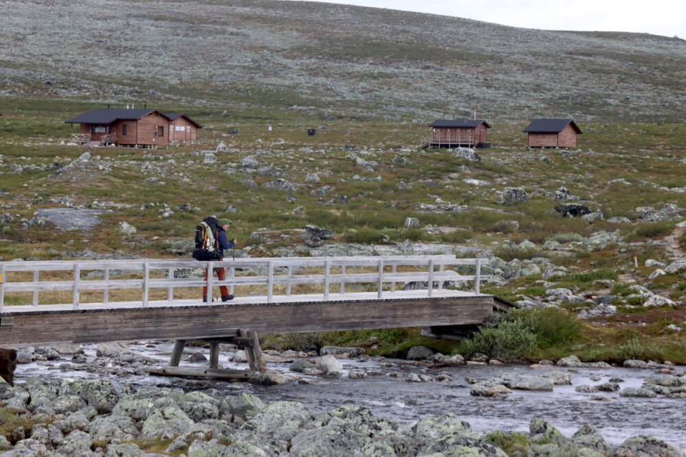
June 25: The Beauty of Meekonjärvi
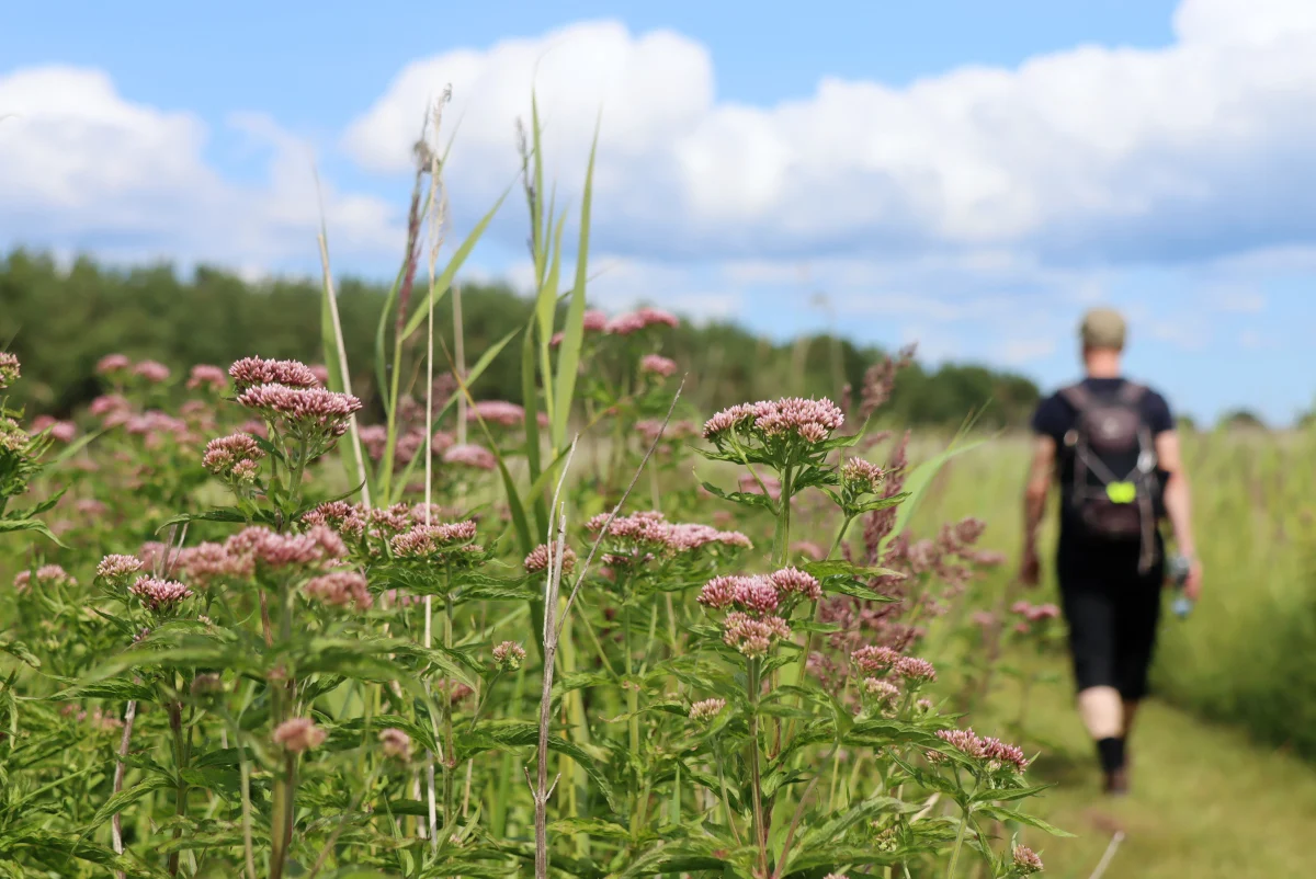
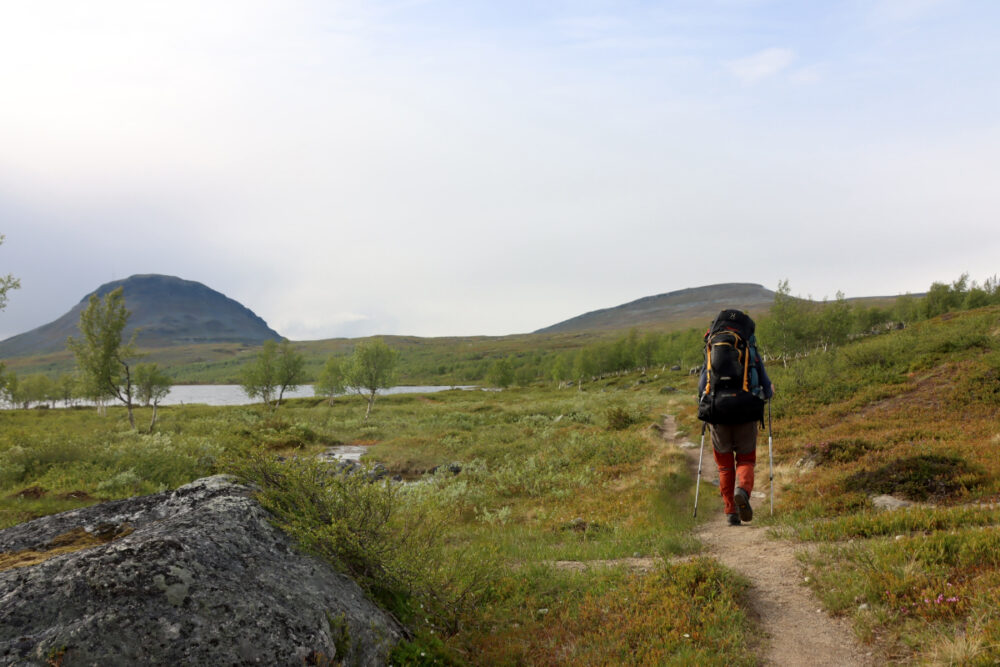
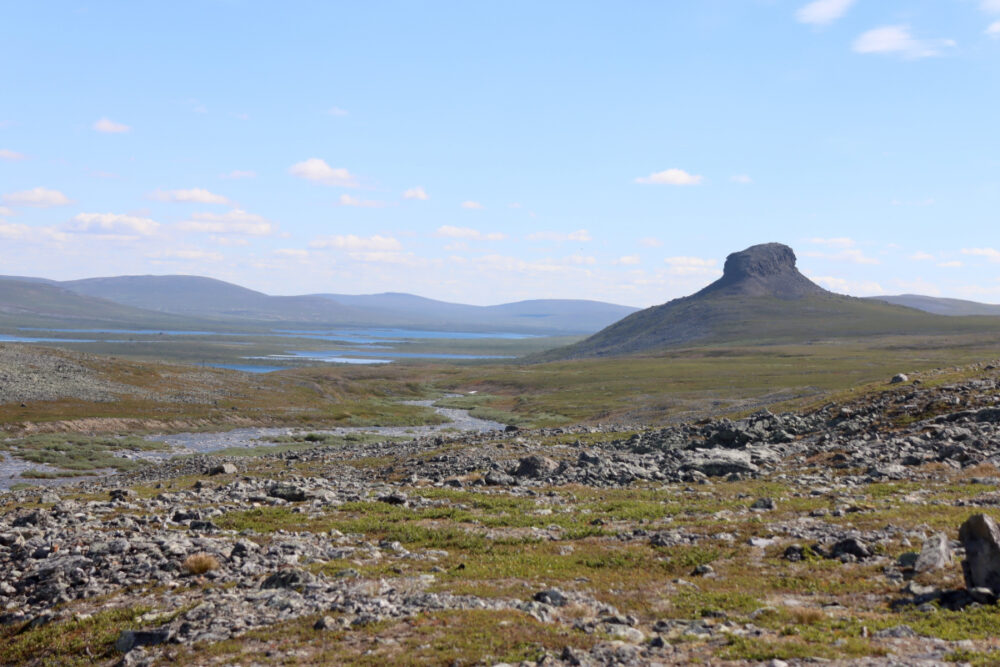
The trek toward the Meekonjärvi valley offered a respite from the previous day’s brutal terrain. The landscape here is perhaps the most iconic in the region: sheer cliffs, vibrant green birch scrub, and the striking silhouette of Saivaara—a mountain known for its unusually steep, symmetrical profile. The heat of the day caused significant discomfort, exacerbated by the need for full-body coverage to protect against insects. A dip in the ice-cold waters of Pitsusjärvi provided the necessary relief before reaching the local hut.
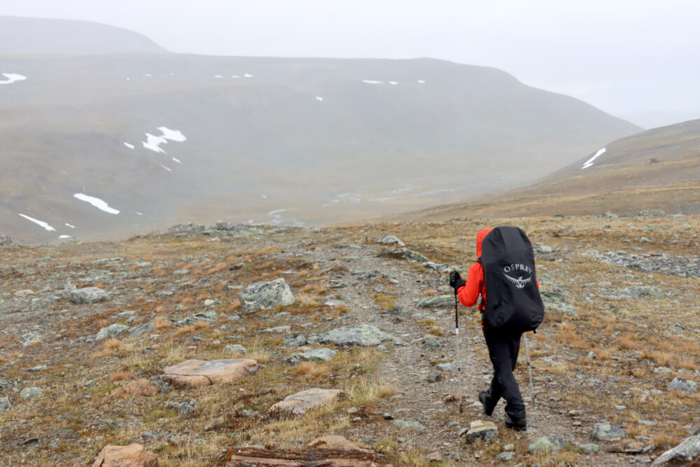
June 26: Reaching the Summit
The final push to Halti is often done as a day trip from Pitsusjärvi, but we chose to carry our full gear to the base. The final approach to the summit involves navigating extensive fields of rakka. Upon reaching the peak, the arctic wind necessitated immediate layering. Despite the harsh conditions, the view from Finland’s highest point—where we signed the visitor book—remained a profoundly rewarding experience.
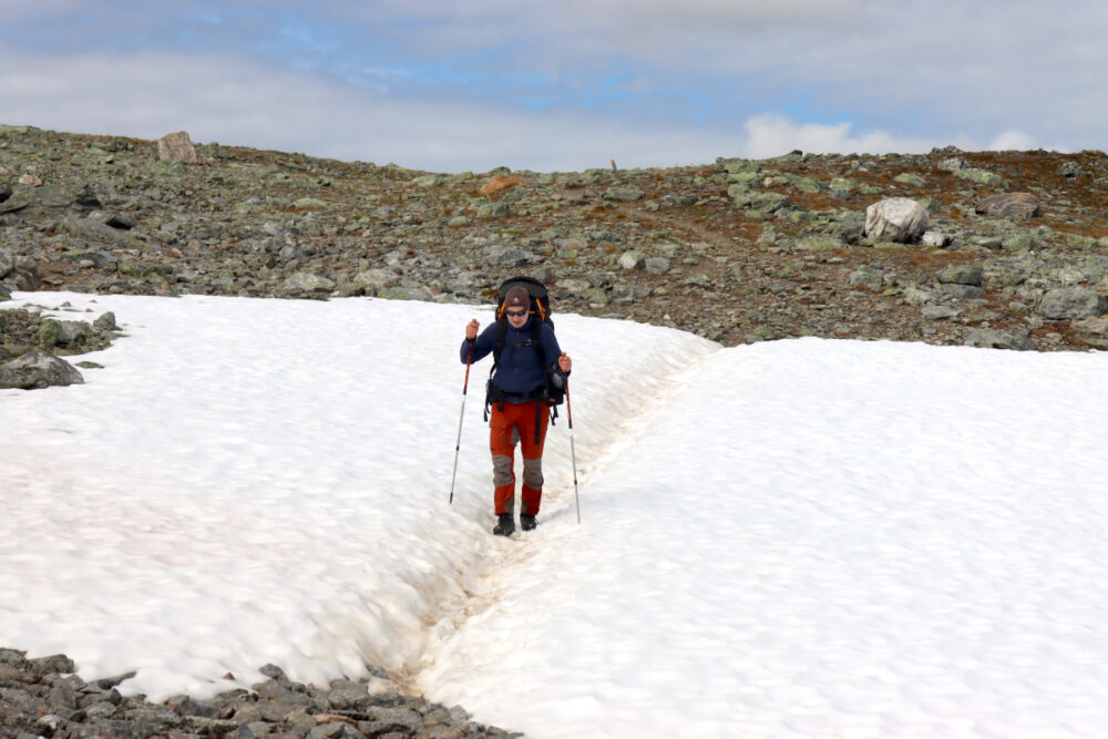
June 27–29: The Return and the Elements
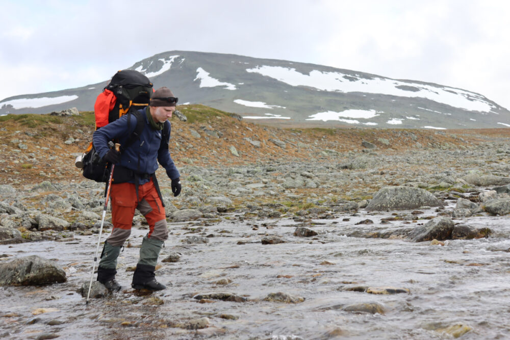
The return journey was marked by a sudden intensification of the weather. A severe rainstorm trapped us in the Halti wilderness hut, where temperatures plummeted to 3°C. The return path required navigating flooded trails and impassable river crossings due to high water levels, forcing us to take a detour around the western side of Meekonvaara. During these days, the botanical diversity of the region became apparent, with rare specimens like the mountain arnica and the endangered Ranunculus glacialis (glacier buttercup) shining like gold amidst the grey stone.
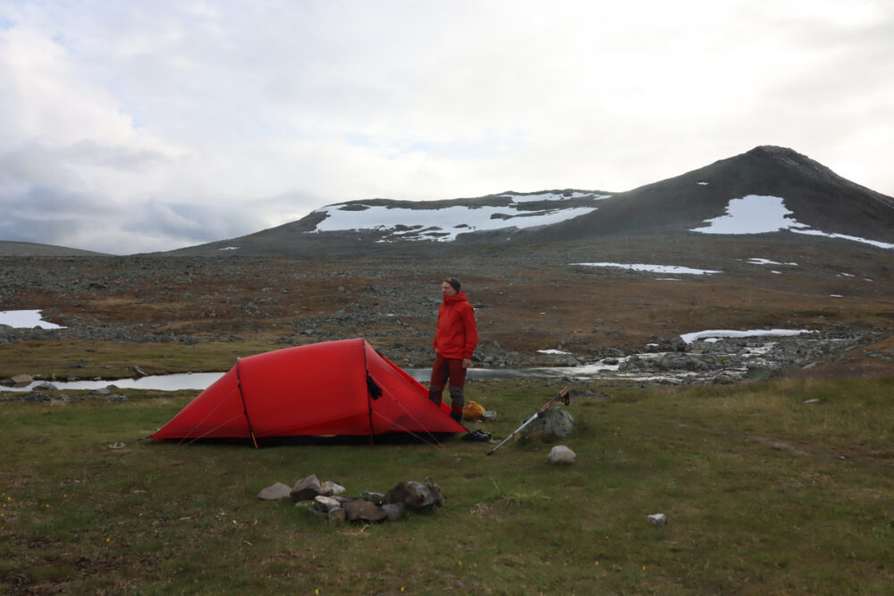
June 30 – July 1: The Final Descent
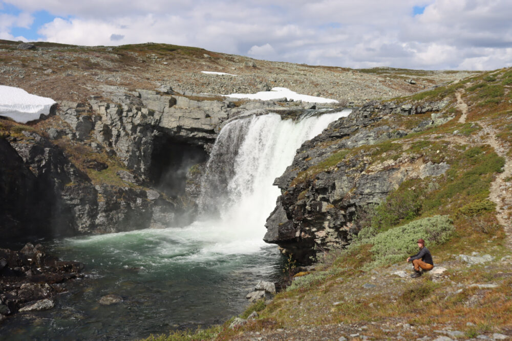
The final nights were spent navigating the aftermath of heavy rains. With 39 millimeters of precipitation falling in a single night, the tundra became a network of streams. Our final path led through the Malla Strict Nature Reserve. The Kitsiputous waterfall, bolstered by the meltwater and rain, was a thundering display of natural power. We arrived back in Kilpisjärvi on July 1st, exhausted but fulfilled, having witnessed the raw, untamed majesty of the high north.
Supporting Data: Climate and Terrain
The Käsivarsi region is highly sensitive to climate change, and hikers are increasingly reporting unpredictable "flash" flooding.
- Water Levels: High-altitude streams can rise significantly within hours during rain events, making traditional crossing points hazardous.
- Flora: The area is home to over 400 species of vascular plants, many of which are endangered due to their specific requirements for cold, high-altitude soil.
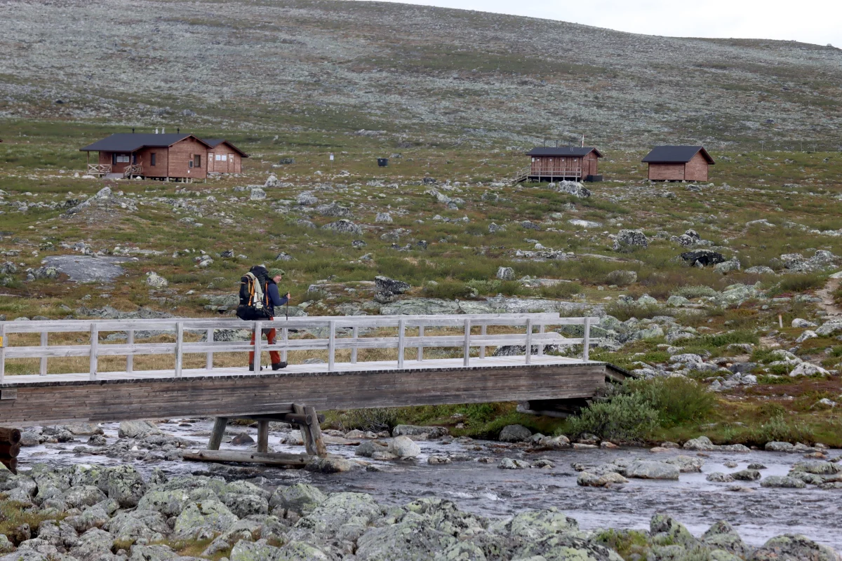
- Visitor Impact: The increased popularity of the Halti trail has necessitated better maintenance of the wilderness huts. The new huts at Saarijärvi, Pitsusjärvi, and Halti serve as critical shelters for hikers facing extreme weather.
Official Responses and Safety Recommendations
The Finnish national park authorities (Metsähallitus) strongly advise that the Halti trail is not suitable for novice hikers. Official recommendations include:
- Preparation: Hikers must be prepared for winter conditions even in mid-summer. Hypothermia is a genuine risk if one is caught in a rainstorm without adequate waterproof layers.
- Navigation: GPS is strongly recommended. The marked trails can become invisible in dense fog, particularly when crossing the rakka fields.
- Leave No Trace: Due to the fragile alpine vegetation, all trash must be carried out, and camping must be restricted to durable surfaces or established sites near the huts.
Implications: The Future of Arctic Trekking
The trek to Halti is more than just a physical challenge; it is an immersion into a landscape that acts as a barometer for the health of the Arctic. As summers become warmer, the permafrost in these high-altitude regions faces degradation, which could permanently alter the character of the trails.
Furthermore, the growing "bucket list" mentality among tourists brings both economic benefits to Kilpisjärvi and environmental pressures to the wilderness area. Responsible tourism, characterized by proper gear, respect for the fragile ecology, and an understanding of the inherent dangers, is the only way to ensure that the Halti trail remains a pristine wilderness for future generations. For those who choose to undertake this journey, the reward is an unparalleled connection to the ancient, rugged heart of the North.