The Bolivian Altiplano is a landscape of superlatives. It is a place where the air is thin, the light is crystalline, and the horizons stretch into infinity. While many travelers flock to the Salar de Uyuni or the bustling streets of La Paz, there exists a quieter, more profound experience for those willing to venture into the shadows of the Andes’ most iconic peaks.

In September 2017, I embarked on a 600-kilometer traverse of this high-altitude desert. While that journey garnered significant attention, a crucial, overlooked piece of that expedition was a short, breathtaking overnighter known as the "Five Lakes Loop." This border-straddling circuit, which touches both Bolivia and Chile, serves as a masterclass in high-altitude trekking, offering a microcosm of the Altiplano’s rugged beauty in just two days.

Main Facts: A Wilderness at the Roof of the World
The Five Lakes Loop is a 47-kilometer (29-mile) trek that begins and ends in the village of Sajama, Bolivia. Situated at 4,230 meters (13,879 ft), Sajama is one of the highest permanently inhabited settlements on the planet. The route is characterized by its isolation, its stark, treeless beauty, and its extreme elevation profile, which fluctuates between 4,230 meters and 5,130 meters (16,831 ft).

Though classified as a moderate trek, the difficulty is dictated almost entirely by the altitude and the environment. Approximately 40% of the route is off-trail, requiring a basic proficiency in navigation. However, the open nature of the terrain makes route-finding relatively straightforward for experienced hikers. The ideal window for this trek is between June and September, during the austral winter, when the skies are reliably clear, despite the biting temperatures.

Chronology: A Two-Day Odyssey
Day One: Into the High Desert
The journey begins in the shadow of Nevado Sajama, the highest peak in Bolivia. Leaving the village, the trail winds through an environment that feels prehistoric. The flora, particularly the Azorella compacta (known locally as llareta), dominates the landscape. These dense, moss-like cushions are slow-growing, sometimes taking centuries to reach their size, and they serve as a silent testament to the resilience required to survive at 5,000 meters.

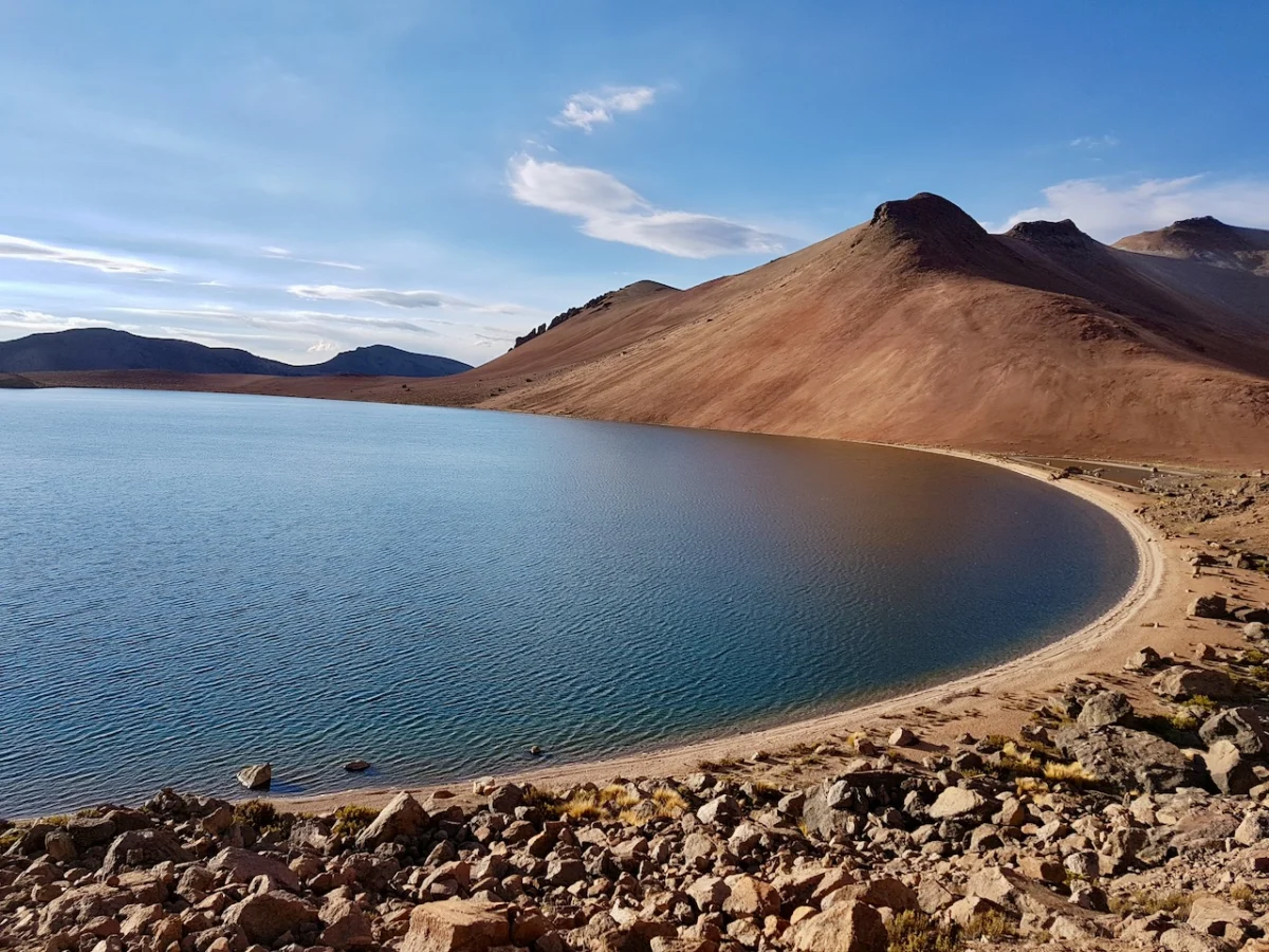
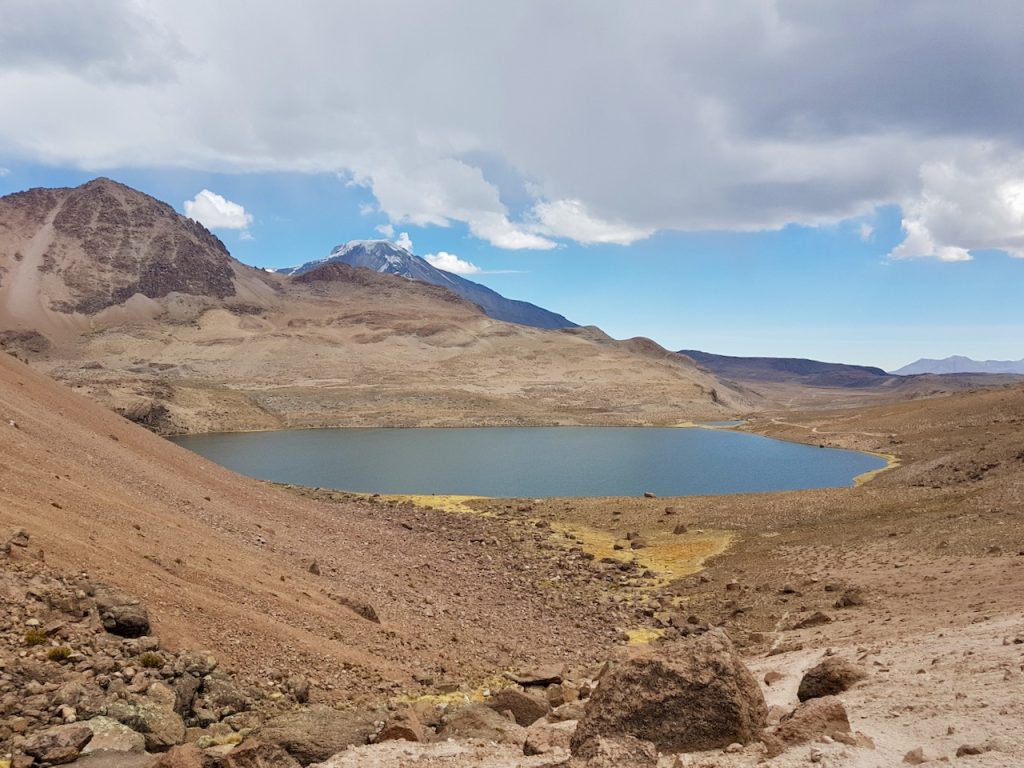
As I climbed toward the border region, the scale of the Andes became truly apparent. I encountered herds of llamas, their presence providing the only movement in an otherwise still, vast expanse. The destination for the first day was the vicinity of the border, near the shimmering, mineral-rich waters of the lakes.

The highlight of the first evening was a campsite situated at an elevation of 4,928 meters (16,168 ft). As the sun dipped behind the horizon, the temperature plummeted to approximately -12°C (10°F). It was, in the words of a seasoned mountaineer, "colder than a loan shark’s heart." Yet, the lack of wind and the clarity of the moonlight over the peaks made it one of the most memorable nights of my career. A warm cup of coca tea—a traditional Andean remedy for altitude sickness and fatigue—offered the only defense against the creeping chill.

Day Two: The Return Through the Quebradas
The second day focused on the transition between the alpine lakes and the descent back toward the valley floor. The route took me past the remaining bodies of water, including the striking Laguna Chiar Khota. I had originally planned a side excursion to the summit of Jisk’a Kunturini (5,475 m/17,963 ft), but a localized, fast-moving storm cell forced a tactical retreat.

The descent through the Quebrada Condoriri provided a different perspective on the landscape, as the terrain shifted from high-altitude scree to the more sheltered, grass-filled basins favored by local livestock. Upon re-entering Sajama village, the contrast between the silence of the high mountains and the human activity of the village was jarring. I spent the late afternoon observing a local football match, where the players were as bundled up against the wind as I had been during my trek. It was a grounding end to an ethereal experience.

Supporting Data: Technical Specifications
For those planning to replicate this journey, the following data points are essential:
- Distance: 47 km (29 miles)
- Total Elevation Gain: 946 m (3,104 ft)
- Elevation Range: 4,230 m to 5,130 m (13,879 ft to 16,831 ft)
- Duration: 10 hours to two days, depending on acclimation.
- Navigation: GPS is recommended due to the off-trail sections.
- Logistics: The route requires self-sufficiency. Water sources are available but should be treated. There are no formal supply points once you depart from Sajama Village.
The "Five Lakes" moniker refers to the string of high-altitude basins that dot the border region. It is important for hikers to note that two of these bodies of water lie within Chilean territory. While borders in this remote region are often porous, hikers should ensure they have the appropriate documentation and respect local customs regarding land usage.

Official Responses and Ecological Considerations
The region around Nevado Sajama is part of the Sajama National Park, Bolivia’s oldest national park. The park authority emphasizes the fragility of the high-altitude ecosystem. The llareta mentioned previously is a protected species; it is strictly prohibited to disturb or collect this vegetation for fuel or souvenirs.

Local authorities and the small community of Sajama are generally welcoming to trekkers, viewing eco-tourism as a vital, albeit small, supplement to their traditional agricultural livelihoods. However, the lack of infrastructure means that "Leave No Trace" principles are not merely suggestions; they are the primary mechanism for preserving the area for future visitors. Hikers are expected to carry out everything they bring in, as the arid, cold environment inhibits rapid waste decomposition.

Implications for Future Exploration
The Five Lakes Loop is a perfect case study for the "slow travel" movement within the adventure community. It challenges the modern impulse to maximize distance or peak count, instead inviting the hiker to engage with the unique, high-altitude desert environment.

For the international trekking community, the implications of such routes are twofold. First, they represent an untapped potential for sustainable, low-impact tourism in Bolivia. Unlike the heavily trafficked trails of the Himalayas or the Andes near Cusco, the Altiplano offers a sense of genuine discovery. Second, the reliance on traditional knowledge—specifically the use of coca tea for altitude and the ability to read weather patterns in the high desert—reminds us that the mountains are not simply terrain to be conquered, but systems to be understood.

As climate change continues to impact the glacial retreats of the Andes, the landscape of the Five Lakes Loop will undoubtedly evolve. The snow-capped peaks of Parinacota and Pomerape, which serve as the majestic backdrop for this trek, are under constant environmental pressure. The act of trekking through these regions, when done with care and respect, serves as a form of witness to these changes.

Final Reflections
The Five Lakes Loop is not merely a trail; it is an endurance test for the lungs and a sanctuary for the spirit. It demands respect for the elevation, preparation for the cold, and an appreciation for the subtle beauty of a landscape that many would dismiss as barren. For those who find solace in the silence of the high mountains, this corner of the Altiplano remains one of the world’s most rewarding, and yet most accessible, wilderness experiences.

Whether you are a seasoned mountaineer or a dedicated backpacker, the lessons learned on this two-day trek—of self-reliance, of the necessity of slowing down, and of the profound, thin air of the Andes—will stay with you long after you have descended back to the lowlands.