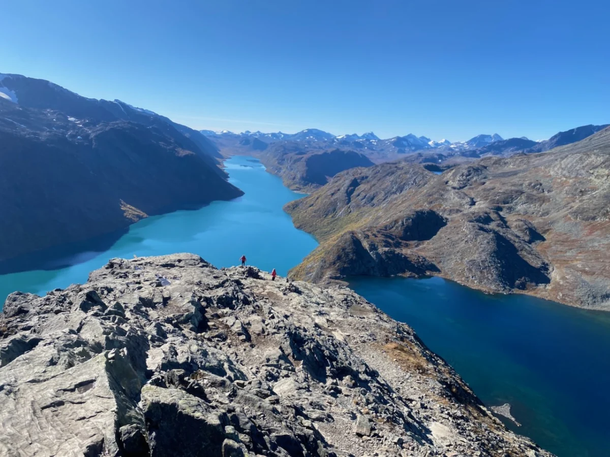
Deep within the rugged heart of central Norway lies a landscape so steeped in folklore and geological drama that its name—Trollheimen—literally translates to "Home of the Trolls." While the towering peaks of Jotunheimen often capture the international spotlight, Trollheimen remains an enigmatic, under-the-radar masterpiece of Nordic wilderness. A transition zone between the marine-influenced west and the stark alpine east, this mountain range offers a kaleidoscopic display of ancient woodlands, crystal-clear glacial lakes, and jagged, snow-dusted ridges.

For the modern adventurer, the "Trollheimen Triangle"—a classic, multi-day trekking circuit—serves as the ultimate introduction to this region. It is a route that balances the physical rigor of high-altitude traversal with the comfort of Norway’s legendary hut system, offering a journey that feels both ancient and profoundly accessible.

Main Facts: The Anatomy of a Nordic Classic
The Trollheimen Triangle is not merely a trail; it is a cultural and environmental corridor. The route connects three iconic mountain huts: Gjevilvasshytta, Jøldalshytta, and Trollheimshytta.

- Total Distance: 58 kilometers (36 miles).
- Average Duration: 2–3 days, depending on pace and weather conditions.
- Difficulty: Moderate, though the high mountain passes demand respect and proper preparation.
- Elevation Profile: A cumulative gain of 2,720 meters (8,924 feet), characterized by steep ascents into the high fells and long, sweeping descents into lush river valleys.
- Starting Point: The historic Gjevilvasshytta mountain hut, which dates back to 1819 and sits approximately 30 minutes from the regional transport hub of Oppdal.
The region’s history is as layered as its topography. Evidence of human habitation stretches back to the Stone Age, and the landscape is dotted with Iron Age burial sites and traditional turf-roofed farmhouses that serve as silent witnesses to centuries of pastoral life.

Chronology: A Three-Stage Odyssey
The journey is typically undertaken in a counter-clockwise direction, a path that slowly eases the hiker into the scale of the landscape.

Stage 1: The Ascent to Jøldalshytta
The journey begins at Gjevilvasshytta, where the trail immediately dives into the fragrant birch forests of Gjerdøldalen Valley. Within five kilometers, the canopy thins and vanishes, replaced by the expansive, open tundra that characterizes the Norwegian high fells.

The path pushes through a wide saddle beneath the looming silhouette of Høghøa Peak (1,308 m). After crossing the Minnilla River—a pristine, rushing vein of glacial melt—the trail transitions into the lake-strewn landscapes of the Høghødalen Valley. The final stretch is a gradual, meditative descent toward the Jøldalshytta Hut, which sits in a breathtaking position overlooking the mirrored surface of Jølvatnet Lake.

Stage 2: The Choice of Paths
The second stage, leading to Trollheimshytta, presents the hiker with a strategic decision. Two high-altitude traverses—over the ridges of Geithøtta (1,316 m) or the formidable Trollhetta (1,616 m)—offer unparalleled views for those blessed with clear weather.

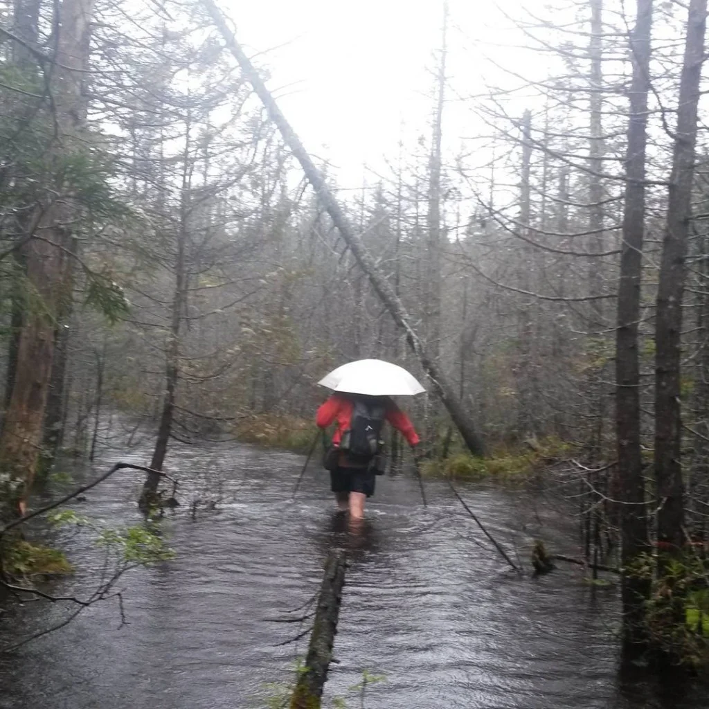
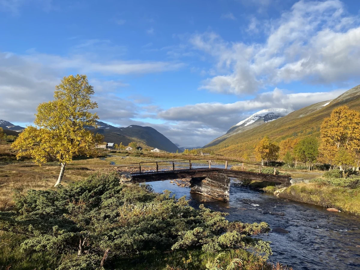
However, Trollheimen is known for its mercurial climate. When storm fronts roll in from the coast, the valley route, which traces the Svartå River, becomes the prudent choice. Far from being a "consolation prize," this 16-kilometer (9.9-mile) trek is a masterclass in atmospheric beauty, winding through thick meadows, historic bridges, and vibrant, autumn-hued foliage.

Stage 3: The Crucible of Skallen
The final leg is widely considered the most demanding. Leaving the shelter of Trollheimshytta, the trail forces an immediate confrontation with gravity. A series of steep, rocky terraces require a 700-meter climb over just three kilometers to reach the summit of Skallen Peak (1,226 m).

Beyond Skallen lies the Mellomfjellet plateau—a desolate, boulder-strewn landscape that feels light-years removed from the sheltered valleys. The route eventually dips toward the eastern shore of Fossådalsvatnet Lake before rising again to the Riarskaret Pass (1,307 m), the highest point of the circuit. The final descent brings the hiker back into the expansive Gjerdøldalen Valley, marking the return to the Gjevilvasshytta trailhead.

Supporting Data: The Logistics of the Trail
Traveling in Norway requires a respect for local infrastructure and the unpredictable nature of the North.

- Accommodation: The Norwegian Trekking Association (DNT) maintains the huts along this route. While they offer beds and, in some cases, full-service catering, hikers should always check the status of these huts, as some transition to self-service or close during the late autumn or winter shoulder seasons.
- Safety and Navigation: The trail is generally well-marked with the iconic red "T" symbol, but GPS data is essential. In the event of fog or whiteout conditions—common even in summer—navigational reliance on visual markers can be dangerous.
- Gear Requirements: Even if the forecast promises sun, the "Trollheimen rule" dictates that one must be prepared for rain, wind, and cold. High-quality waterproof layers and a sturdy, lightweight sleep system are non-negotiable.
Official Perspectives: The Role of DNT
The preservation of Trollheimen is largely overseen by the DNT and local land management authorities. Their mandate focuses on "Allemannsretten," the traditional right of public access, which allows hikers to traverse and camp on most uncultivated land.

Local officials emphasize that while the area is a public resource, it is also a fragile ecosystem. Hikers are strictly encouraged to stick to marked paths to prevent erosion of the sensitive marshy tundra. "The goal is to maintain the wilderness character of the region while ensuring that the infrastructure—the bridges and the huts—can withstand the increasing interest in Nordic trekking," notes a representative from the regional national park board.

Implications: The Future of Remote Hiking
As the world’s major trails face increasing over-tourism, regions like Trollheimen represent the future of sustainable, low-impact adventure. By encouraging hikers to utilize established, managed networks like the Triangle, the Norwegian model effectively concentrates human impact while protecting the vast, untouched expanses of the surrounding nature reserves.

For the international traveler, the appeal is clear: Trollheimen offers a raw, unfiltered connection to the land that is becoming increasingly rare. It is a place where you can walk for hours without encountering another soul, where the only sounds are the wind through the heather and the distant rush of a river, and where, if you squint at the jagged silhouette of a mountain ridge in the twilight, it’s not hard to believe the stories of the trolls who once claimed this land as their own.

Whether you are seeking the physical challenge of the Skallen climb or the quiet introspection of the Svartå valley walk, the Trollheimen Triangle stands as a testament to the enduring allure of the Scandinavian wilderness—a place where every ridge crossed and every river forded adds a chapter to your own personal saga of exploration.

Disclosure: This article contains affiliate links. If you purchase gear or books through these links, The Hiking Life may receive a small commission, which supports the ongoing mission to document and share the world’s greatest trails.