Deep within the heart of central Norway lies a landscape so rugged, mythical, and geologically diverse that it earned the name "Trollheimen"—the Home of the Trolls. While the majestic fjords of the west and the high plateaus of the Jotunheimen often capture the lion’s share of international tourist attention, those in the know look toward this transition zone. Trollheimen represents a unique geological and cultural synthesis, where marine-influenced valleys collide with harsh alpine summits to create a wilderness that feels both ancient and remarkably accessible.

The Essence of Trollheimen: An Overview
Trollheimen is not merely a mountain range; it is a living history book. The region functions as a bridge between the coastal climate and the mountainous interior, resulting in a rare biodiversity that shifts rapidly from lush, moss-draped birch forests to jagged, windswept peaks.

The cultural footprint here is as deep as the glacial valleys. Evidence of human occupation dates back to the Stone Age, with later centuries leaving behind Iron Age burial sites and the iconic turf-roofed farmhouses that dot the lower elevations. The name "Trollheimen," while evocative of Norse folklore, was actually a 19th-century branding effort designed to lure travelers to the region. Today, it remains an "under-the-radar" gem, offering a more intimate, solitary experience than the crowded trailheads of more famous European circuits.

Quick Stats: The Trollheimen Triangle
- Total Distance: 58 km (36 miles)
- Difficulty: Moderate
- Duration: 2–3 days
- Total Elevation Gain: 2,720 m (8,924 ft)
- Start/Finish Point: Gjevilvasshytta mountain hut
Chronology of the Trek: A Stage-by-Stage Breakdown
The Trollheimen Triangle is a classic loop, designed to be tackled in a counter-clockwise direction to maximize the unfolding scenery.

Stage 1: The Ascent into the Fells (Gjevilvasshytta to Jøldalshytta)
The journey begins at the Gjevilvasshytta hut, a historic site established in 1819. The trek starts with a gentle climb through the Gjøråldalen Valley. Within five kilometers, the dense birch forest gives way to the exposed, expansive fells—the true "troll country."

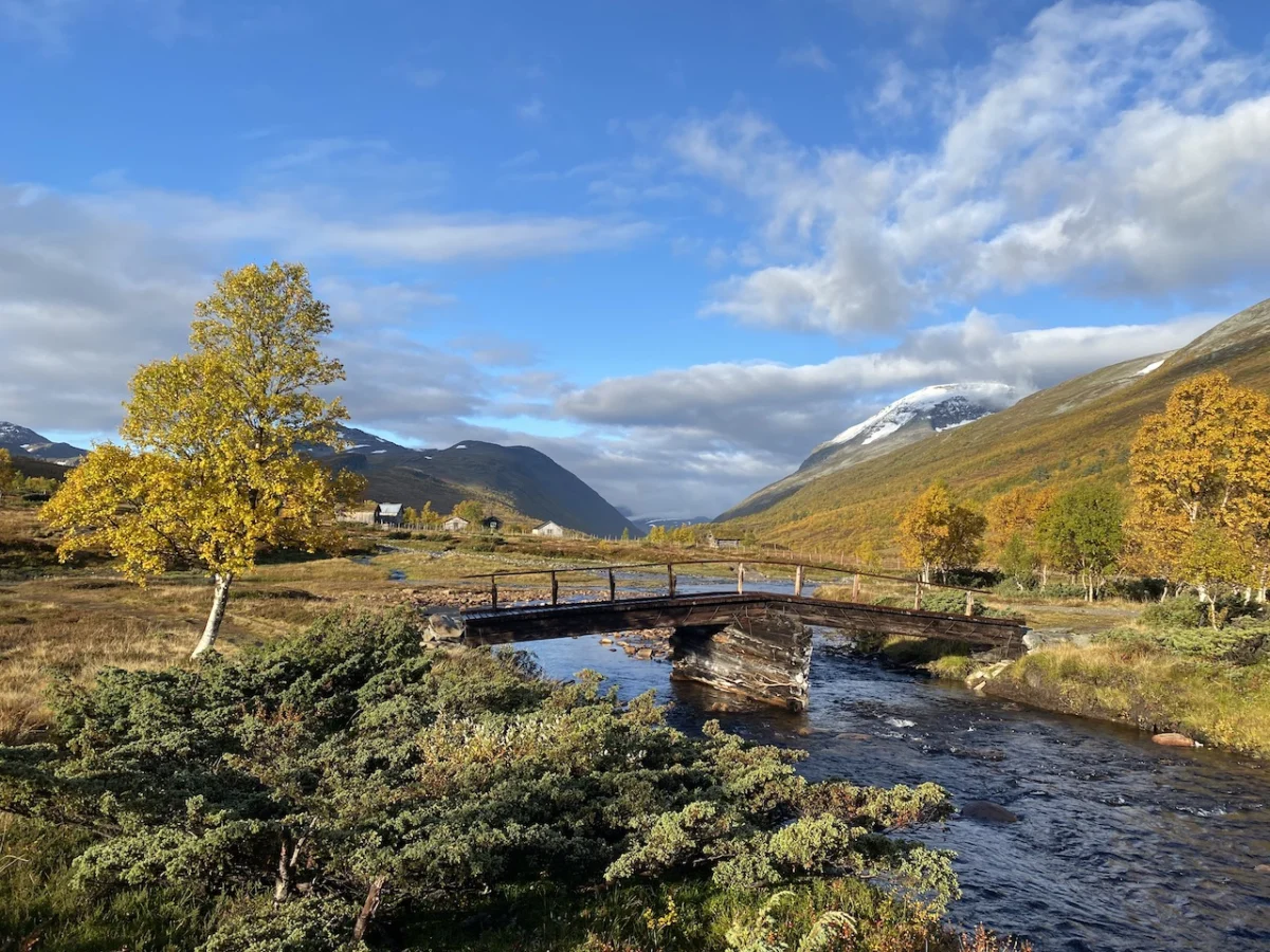
As you navigate the saddle beneath the 1,308-meter Høghøa Peak, the terrain becomes increasingly alpine. By the 11-kilometer mark, the path descends toward the Minnilla River. A sturdy footbridge provides a safe crossing before the trail transitions into the rolling landscape near Skrikhøa Peak. The descent into Jøldalshytta is a long, gradual affair that rewards hikers with a stunning panoramic view of Jølvatnet Lake.

Stage 2: The Valley Traverse (Jøldalshytta to Trollheimshytta)
This stage presents a "choose your own adventure" scenario. Hikers can opt for high-altitude, strenuous traverses over peaks like the 1,616-meter Trollhetta, or stick to the valley floor. Given the region’s notorious weather, many opt for the lower-level path following the Svartåa River. This route is a masterpiece of Nordic scenery: meandering waterways, vibrant meadows, and solitary shepherd cottages with sod roofs.

Upon reaching Trollheimshytta, one is greeted by the raw, central majesty of the mountains. Even when the main lodge is closed for the season, the surrounding emergency shelters provide a necessary, warm sanctuary against the unpredictable mountain gusts.

Stage 3: The Final Challenge (Trollheimshytta to Gjevilvasshytta)
The final 21-kilometer push is widely considered the most demanding. Leaving the shelter of the valley, the trail crosses the Slettåa River and begins a brutal, zig-zagging climb of 700 meters over just three kilometers.

The summit of Skallen Peak (1,226 m) is the psychological and physical crux of the trip. In clear conditions, the view stretches across the Svartåmoen Nature Reserve. In poor conditions, it is a test of grit. The path then continues across the rocky, tarn-filled plateau of Mellomfjellet before descending toward the Fossådalsvatnet Lake. The final push involves a steep climb through the Riarskaret Pass—the highest point of the trek—before descending back into the relative warmth of the Gjøråldalen Valley, eventually leading back to the trailhead.

Supporting Data: Infrastructure and Logistical Realities
The success of a hike in the Norwegian mountains relies heavily on the "DNT" (Den Norske Turistforening) network. These mountain huts are the backbone of the region’s outdoor culture.

- Accommodation: The huts provide a range of amenities, from self-service kitchens to full-service meals depending on the season. It is essential to check the Norwegian Trekking Association (DNT) website for seasonal closures, as the "shoulder seasons" can render some huts inaccessible or unstaffed.
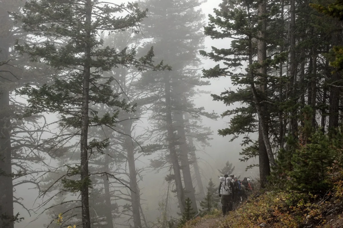
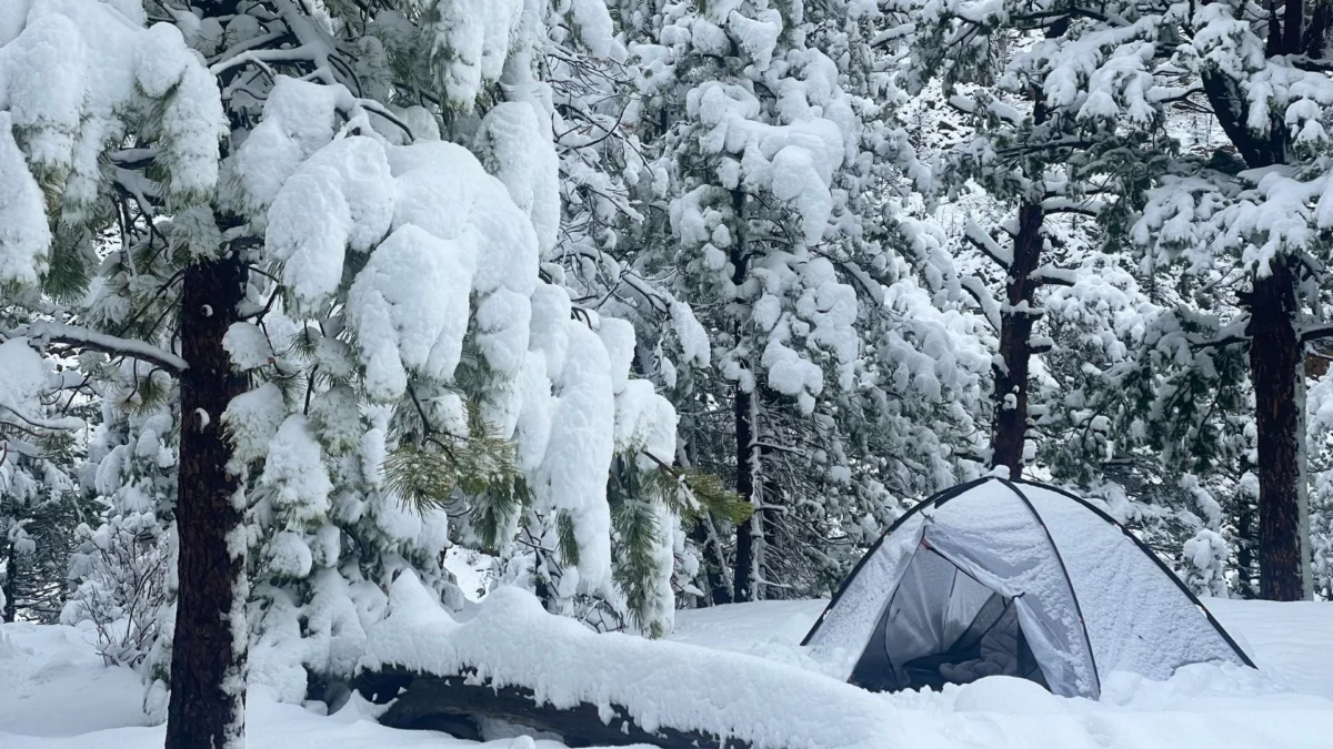
- Weather Patterns: The transition zone climate means weather can shift from blinding sunshine to horizontal sleet in under an hour. Waterproof gear, sturdy boots, and the ability to navigate via map and compass are non-negotiable, regardless of the forecast.
- Logistics: The region is accessed via the regional hub of Oppdal, which offers train and bus connections. From there, a short 30-minute drive or transfer brings you to the Gjevilvasshytta trailhead.
Official Perspectives: The Role of Sustainable Tourism
Norwegian authorities and the local mountain boards emphasize the "Right to Roam" (Allemannsretten), which allows public access to the wilderness. However, this freedom comes with a significant responsibility. The fragile ecology of the Trollheimen region—particularly the bogs and high-alpine tundra—is susceptible to erosion.

Local trail maintainers advise hikers to stay strictly on marked paths. The "Trollheimen Triangle" is marked with the iconic red "T" paint blazes. These markers are essential not only for convenience but for safety during the sudden whiteouts that frequently occur on the high plateaus.

Implications: Why the Trollheimen Matters
The Trollheimen Triangle is a microcosm of the modern hiker’s dilemma: the desire for authentic, wild spaces versus the need to preserve them. Unlike the overly commercialized "bucket list" trails in the Alps, the Trollheimen remains a place where the hiker is still a guest of the land, not a consumer of it.

For the international hiker, the implications of choosing a trek like this are clear. By moving away from high-traffic zones and supporting the local hut system, you contribute to a sustainable tourism model that prioritizes the health of the environment over the volume of foot traffic. Furthermore, the psychological benefits of such a trek—the "pitter-patter" of rain on a shelter roof, the solitude of the high fells, and the physical exertion required to conquer a mountain pass—provide a profound connection to the landscape that is increasingly rare in the 21st century.

As you plan your next expedition, consider the Home of the Trolls. It offers no guarantees of blue skies or easy paths, but it promises an encounter with the raw, untamed essence of the North—a place where the history of the Stone Age meets the biting wind of the future, and where every step feels like a discovery.

For those looking to document their own journey, ensure you carry a reliable GPS device, a physical map of the Trollheimen area, and the appropriate gear for a multi-day mountain traverse. Always check with the local DNT office in Oppdal before departure for the most current trail and weather conditions.