In the heart of central Norway, where the earth seems to ripple into jagged peaks and deep, emerald-green valleys, lies a mountain range that has long remained a closely guarded secret of the Nordic outdoor community. Known as Trollheimen—or "The Home of the Trolls"—this region offers a primordial landscape that feels as though it were pulled directly from the pages of Norse mythology.

For the intrepid hiker, the "Trollheimen Triangle" represents the quintessential Scandinavian wilderness experience. It is a land defined by its transition zone, where marine influence meets alpine austerity, resulting in a unique tapestry of ancient birch woodlands, crystal-clear glacial lakes, and sweeping, rocky plateaus. While the moniker "Trollheimen" was popularized in the late 19th century as a marketing effort to entice tourists, the name has proven enduringly apt; the terrain is so otherworldly that it is easy to believe that something ancient and magical still lingers in the mountain mists.

The Main Facts: A Wilderness Defined
The Trollheimen Triangle is a 58-kilometer (36-mile) circuit that serves as a masterclass in Norwegian trail design. It is a journey that typically spans two to three days, offering a moderate challenge suitable for those with experience in varied, often unpredictable, mountain conditions.

- Distance: 58 km (36 mi)
- Duration: 2-3 days
- Difficulty: Moderate
- Total Elevation Gain: 2,720 m (8,924 ft)
- Starting Point: Gjevilvasshytta Mountain Hut
- Geography: Transition zone between coastal marine and high-altitude alpine environments.
The trail begins and ends at the Gjevilvasshytta mountain hut, a historic structure established in 1819. The route is part of a wider network of DNT (Den Norske Turistforening) huts, which provide a unique cultural experience, offering shelter and communal warmth in an otherwise rugged, uninhabited landscape.

A Chronological Descent into the Wild
Stage One: Through the Birch Forests to Jøldalshytta
The journey begins at Gjevilvasshytta, located just a 30-minute drive from the regional hub of Oppdal. Moving in a counter-clockwise direction, the first 21-kilometer (13-mile) leg leads toward the Jøldalshytta hut.

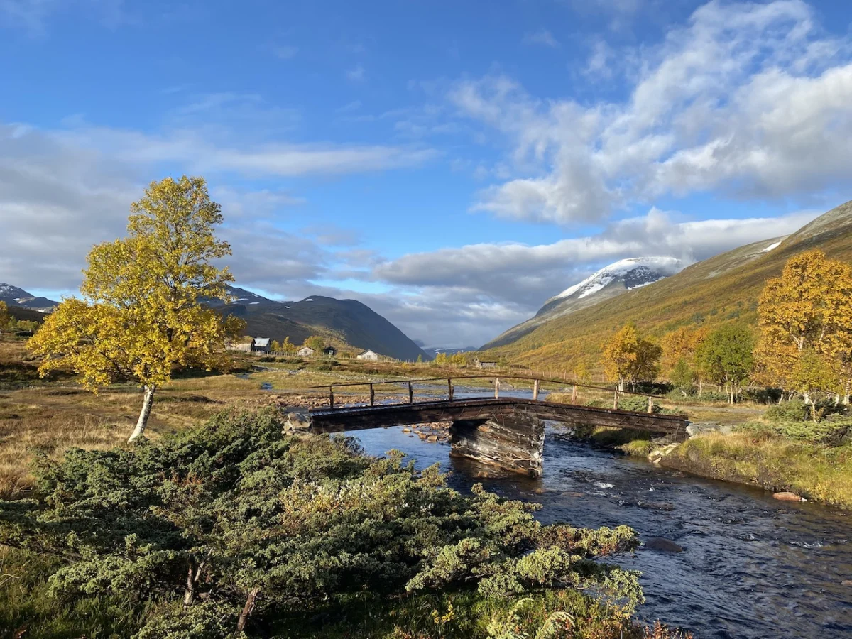
Hikers start by ascending through the dense, aromatic birch forests of Gjørdøldalen Valley. Within five kilometers, the landscape shifts dramatically as the trail breaches the treeline, revealing a sprawling, open expanse. The path crosses a wide saddle beneath the looming shadow of Høghøa Peak (1,308 m/4,291 ft). The descent into the Høghødalen Valley is characterized by marshy ground and a series of picturesque lakes. At the 11-kilometer mark, a sturdy footbridge spans the rushing waters of the Minnilla River—a vital crossing point that serves as a reminder of the raw power of the mountain runoff. The day concludes with a gradual trek over rolling fells toward the Jøldalshytta hut, which sits in quiet contemplation overlooking the expanse of Jølvatnet Lake.

Stage Two: The Choice of Paths
The second stage, leading to Trollheimshytta, offers a rare opportunity for self-determined adventure. Hikers are presented with three distinct routes, the choice of which is often dictated by the famously fickle Norwegian weather.

The high-altitude options involve challenging traverses over Geithøtta Top (1,316 m) or the formidable Trollhetta (1,616 m). However, for those facing inclement weather, the lower-level route tracing the Svartå River is a compelling alternative. This valley walk is a sensory delight, filled with "storybook" bridges, lush meadows, and remnants of traditional human history in the form of turf-roofed cottages. The fall foliage in this region provides a fiery contrast to the gray, jagged peaks, making it one of the most aesthetically rewarding sections of the entire loop.

Stage Three: The Crux of the Triangle
The final 21-kilometer leg is widely considered the most demanding. Departing from Trollheimshytta, the trail quickly crosses the Slettå River before beginning a strenuous, 700-meter climb over a three-kilometer stretch.

This climb tests both stamina and resolve. As one reaches the summit of Skallen Peak (1,226 m), the landscape transforms into a high-altitude, rocky plateau known as Mellomfjellet. This area is dotted with tarns and feels disconnected from the world below. The trail skirts the eastern shore of Fossådalsvatnet Lake before rising to the high point of the entire circuit: the Riarskaret Pass (1,307 m). From here, the route descends through a treeless, moon-like landscape, passing Kamtjørnin Lake before finally re-emerging into the familiar warmth of the Gjørdøldalen Valley and the return to the Gjevilvasshytta trailhead.

Supporting Data and Logistical Insights
The Norwegian mountain hut system is a triumph of infrastructure, designed specifically for this terrain. These huts are not mere shelters; they are the lifeblood of the hiking experience.

- Logistics: The region is accessible via Oppdal. Hikers are encouraged to check the DNT website for current trail conditions and hut availability, as seasons in Norway can be short and highly variable.
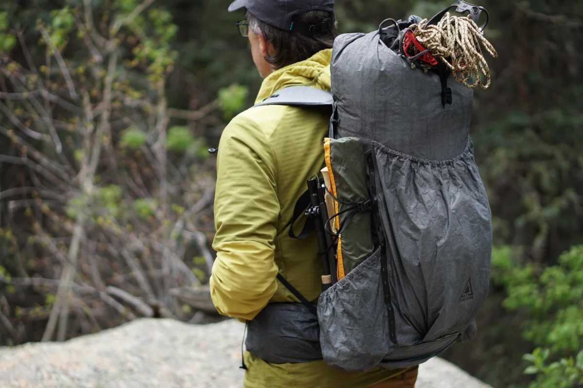
- Gear Requirements: Given the potential for rapid weather shifts—from sun to sleet within an hour—the "three-layer" system is essential. Sturdy, waterproof boots are mandatory, as the terrain includes boggy sections and river crossings.
- Historical Context: The trail is dotted with markers of human habitation spanning millennia. From Iron Age burial sites to Stone Age settlements, the landscape is a living museum, reminding hikers that they are walking in the footsteps of ancestors who navigated this terrain long before the advent of modern navigation.
Official Perspectives and Safety
The Norwegian Trekking Association (DNT) emphasizes that while the Trollheimen Triangle is well-marked with the iconic red "T" symbols, it should not be underestimated. The primary risk in this region is the weather. Even in the height of summer, temperatures can drop near freezing, and visibility can vanish in minutes.

"The mountains are not a playground," notes a local mountain guide. "They are a dynamic environment that requires respect and preparation." The DNT advises that hikers always carry a physical map and compass, as digital signals can be unreliable in the deep valleys of the range. Furthermore, the huts are equipped with emergency shelters, a crucial safety feature for those who find themselves caught in the notorious Trollheimen winds.

Implications for the Future of Nordic Tourism
The rise of the "Trollheimen Triangle" as a destination reflects a broader global shift toward "slow travel." Unlike the high-intensity, short-duration summit hikes that dominate social media feeds, the Triangle invites a deeper engagement with the environment. It asks the hiker to slow down, to observe the transition of ecosystems, and to appreciate the history of the land.

As tourism pressure mounts in popular areas like Lofoten or the Hardangervidda, regions like Trollheimen represent the future of sustainable, responsible trekking. By providing a structured yet challenging route, the region manages to distribute hiker traffic while maintaining the integrity of the wilderness. It is an "under-the-radar gem" that balances accessibility with the wild, untamed spirit that has defined Norway for centuries.

For those who visit, the reward is not just the physical accomplishment of completing the circuit, but the profound silence found in the high saddles, the taste of glacial water, and the knowledge that in the heart of the "Home of the Trolls," the magic of the landscape is still very much alive.