In the thin, crisp air of the Bolivian Altiplano, where the horizon stretches toward infinity and the peaks of ancient volcanoes pierce the cobalt sky, lies one of South America’s best-kept trekking secrets. While my 2017 expedition to the region was primarily defined by a 600-kilometer (373-mile) traverse across the salt flats and geothermal fields, the journey’s true emotional and aesthetic prologue was a short, intense, and mesmerizing circuit known as the Five Lakes Loop.

This border-straddling overnighter, which weaves through the high-altitude wilderness surrounding the village of Sajama, offers a masterclass in raw, geological beauty. Though it remains overshadowed by the more famous Andean climbs, the Five Lakes Loop serves as a vital acclimation and exploration route for those seeking to touch the sky at over 5,000 meters.

Main Facts: The Anatomy of a High-Altitude Trek
The Five Lakes Loop is a challenging yet accessible 47-kilometer (29-mile) trek that demands respect for the altitude. Starting and finishing in the village of Sajama, Bolivia—one of the highest permanently inhabited settlements on the planet at 4,230 meters (13,878 ft)—the route is not for the faint of heart.

Key Technical Specifications
- Distance: 47 km (29 miles)
- Total Elevation Gain: 946 m (3,104 ft)
- Elevation Range: 4,230 m (13,879 ft) to 5,130 m (16,831 ft)
- Duration: 10 hours to two days (recommended)
- Difficulty: Moderate; 40% of the terrain is off-trail, though navigation is simplified by the treeless, expansive nature of the landscape.
- Optimal Season: June to September, when the weather is stable, though nocturnal temperatures are extreme.
The route derives its name from the five distinct glacial and volcanic lakes scattered across the borderlands of Bolivia and Chile. While two of these bodies of water lie within Chilean territory, the trek is a seamless experience, showcasing the indifference of nature to political boundaries.

Chronology: A Two-Day Passage into the Clouds
Day One: Into the High Desert
The journey begins in the shadow of Nevado Sajama, the highest peak in Bolivia. Leaving the village, the air is thin, and every step requires a conscious rhythm. The trail quickly moves away from the comforts of the village, leading hikers into the vast, open expanse of the Altiplano.

The landscape is defined by the llareta (Azorella compacta), a remarkable, moss-like shrub that grows at altitudes between 3,200 and 5,000 meters. These dense, neon-green cushions look like boulders but are actually ancient, slow-growing plants that have adapted to survive in one of the world’s most unforgiving climates.

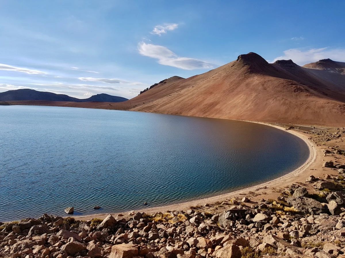
As the path climbs toward the Paso Casiri, the scale of the surroundings becomes apparent. The snow-capped twin peaks of Volcan Pomerape (6,282 m) and Volcan Parinacota (6,348 m) dominate the skyline, their reflection dancing on the surface of the various lagoons encountered along the way. By late afternoon, I reached the vicinity of Laguna Chiar Khota. A planned side trip to the summit of Jisk’a Kunturini (5,475 m) was briefly considered but ultimately abandoned as a sharp, localized storm moved in—a sobering reminder that in the Andes, the weather dictates the itinerary.

Day Two: The Descent and the Village Life
The second day offers a profound sense of solitude. As the sun rises, casting a golden hue over the high-altitude plains, the temperatures remain punishingly low. My campsite, situated at nearly 5,000 meters, saw temperatures drop to -12°C (10°F). However, the clarity of the air at this altitude allows for unparalleled stargazing, turning the freezing night into a meditative experience.

The descent through the Quebrada Condoriri leads to the lower reaches of the circuit, where the terrain softens slightly. The final segment of the loop returns you to the dusty, charming streets of Sajama. Upon arrival, the transition from the silence of the mountains to the communal atmosphere of the village—where local children and adults congregate for a spirited soccer match—provides a perfect, grounding conclusion to a journey that feels as though it took place on another planet.

Supporting Data: Why Altitude Matters
The Five Lakes Loop is a significant physical challenge. At an average altitude of over 4,500 meters, oxygen levels are approximately 60% of what one finds at sea level. The primary danger for trekkers is not the technicality of the path, but the physiological toll of rapid ascent.
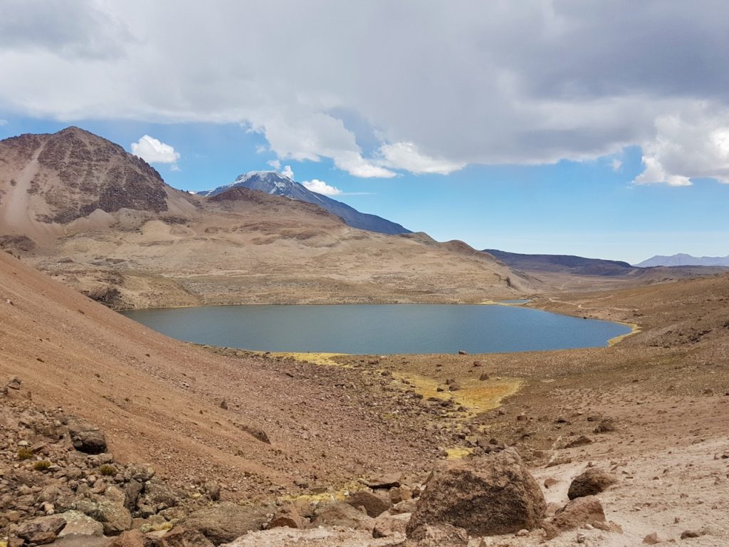
Hydration and caloric intake are vital. The dry, arid climate of the Altiplano exacerbates dehydration, and the intense UV radiation at these elevations requires rigorous sun protection. Navigation is largely intuitive, but the lack of established trails in the mid-section means that carrying a GPS device with pre-loaded waypoints is essential for safety, particularly if visibility drops during an afternoon squall.

Official Perspectives: The Role of Ecotourism
Local authorities in the Sajama National Park region view such routes as vital for the development of sustainable, low-impact tourism. By encouraging visitors to engage in multi-day treks rather than just "drive-through" sightseeing, the park management aims to distribute economic benefits to local mountain guides, homestay providers, and small businesses in the village.

The preservation of the llareta plants and the sensitive lake ecosystems is a priority. Visitors are encouraged to follow "Leave No Trace" principles strictly. Given the vulnerability of these high-altitude water sources, the protection of the lakes—which are often vital for local camelid (llama and alpaca) herds—is a matter of local agricultural security as much as it is an environmental imperative.

Implications: The Future of High-Altitude Exploration
The Five Lakes Loop is a microcosm of the wider Andean experience. It highlights a critical intersection between the ancient, indigenous ways of life and the modern demand for adventure tourism. As more trekkers seek out remote, high-altitude experiences, the challenge for the region will be to maintain the "wild" character of the landscape while providing the necessary infrastructure to ensure visitor safety.

For the individual traveler, the loop offers more than just exercise; it offers a perspective shift. There is a profound humility found in standing at the base of a 6,000-meter volcano, breathing air that hasn’t seen sea level in thousands of miles. It serves as a reminder that some of the world’s most beautiful places are not those that are easily accessible, but those that require a bit of struggle to reach.

Gear Recommendations for the Altiplano
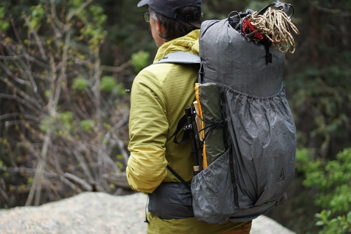
- Layering System: Temperatures fluctuate from below freezing at night to warm, intense sunshine during the day. A high-quality down jacket and moisture-wicking base layers are non-negotiable.
- Hydration: Carry a minimum of 3 liters of water capacity, as water sources can be sparse and occasionally mineral-heavy.
- Navigation: Do not rely on cellular service. A dedicated GPS unit or offline mapping app (such as Gaia GPS or AllTrails) is essential.
- Footwear: Sturdy, broken-in trekking boots are required for the rocky, off-trail sections.
- Sun Protection: A wide-brimmed hat, high-SPF sunscreen, and glacier-rated sunglasses are mandatory to combat the extreme UV levels.
The Five Lakes Loop is not merely a trail; it is an endurance test, a photographic treasure, and a cultural immersion. Whether you are a veteran of the Andes or a first-time high-altitude trekker, the silence of the Altiplano is a melody that stays with you long after you have descended back to the world of the living.