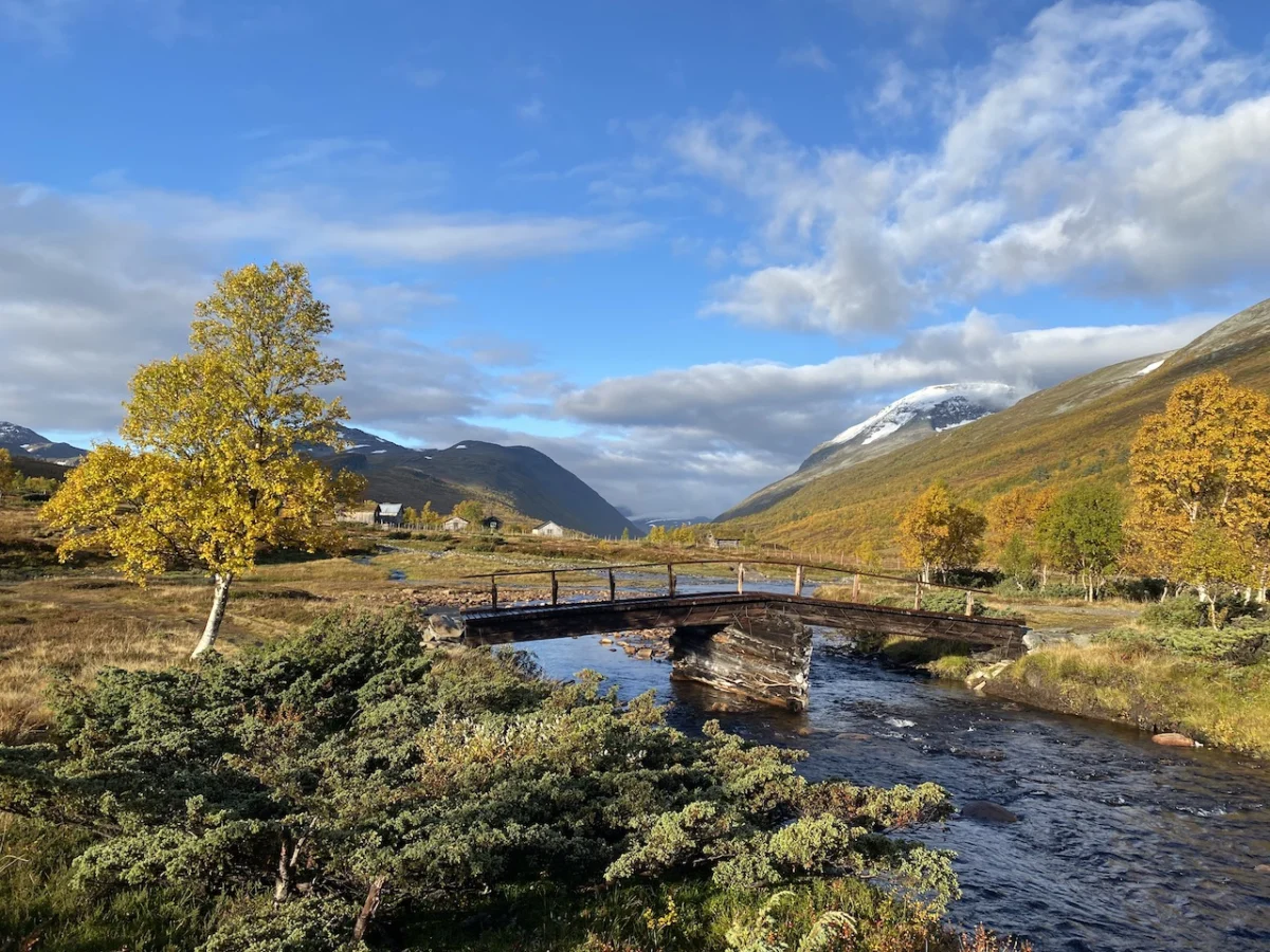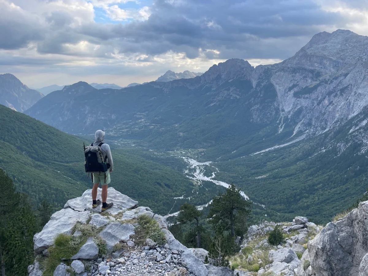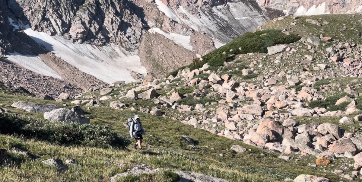
Jotunheimen, Norway’s preeminent National Park, is a landscape defined by hyperbole. Translating from the local tongue to "Land of the Giants," the region lives up to its mythological moniker with an uncompromising display of geological power. Spanning 1,151 square kilometers, the park is a rugged sanctuary for Scandinavia’s highest peaks, sprawling glaciers, and a diverse menagerie of Arctic fauna, including wild reindeer, wolverines, lynx, and moose. For the modern adventurer, Jotunheimen offers a singular experience: the opportunity to traverse a wilderness that has inspired poets and explorers for centuries.
In September 2022, I embarked on a three-day, 80-kilometer circuit through the heart of this massif. This expedition was not merely a physical challenge; it served as a vital component of research for my book, Wanderlust Nordics: Exploring Trails in Scandinavia. What follows is a comprehensive analysis of the Jotunheimen Loop—a trek that balances the raw, unforgiving beauty of the high Arctic with the sophisticated, communal culture of Norway’s mountain hut system.

Main Facts and Logistical Overview
The Jotunheimen Loop is a high-altitude trek that demands respect for the volatile Nordic climate, even in late summer. It is categorized as a "moderate" difficulty route, though this designation assumes a baseline of physical fitness and experience in navigating boulder-strewn terrain and rapid weather shifts.

- Total Distance: 80 km (49.7 miles)
- Duration: 3 days of intensive trekking
- Elevation Gain: 3,941 m (12,930 ft)
- Start/Finish: Gjendesheim Mountain Hut
- Primary Terrain: Glacial valleys, high plateaus, and exposed ridgelines
- Best Time to Visit: Late summer to early autumn (late August to September)
The loop is defined by its strategic use of the DNT (Den Norske Turistforening) hut system. These lodges—Gjendebu, Leirvassbu, Spiterstulen, and Glitterheim—serve as both navigation waypoints and cultural anchors, providing a network of safety and sustenance in an otherwise desolate environment.

A Chronology of the Expedition
Day 1: Entering the Valley of the Giants
The journey commences with a ferry ride across Lake Gjende. The water, a brilliant, opaque turquoise caused by glacial silt, provides a tranquil contrast to the jagged skyline. Departing from Gjendesheim at 7:45 am, the ferry transports hikers to the Gjendebu Hut, located on the far western shore.

From Gjendebu, the route heads northwest into the Storådalen Valley. Marked by the ubiquitous red "T" symbols of the DNT, the trail transitions quickly from birch forests into the alpine zone. After 6 km, the path ascends alongside the Hellerfossen waterfall, a 60-meter drop that signals the climb to the high plateau. The day’s finale is the arrival at Leirvassbu Hut, a private lodge renowned for its traditional mountain cuisine—reindeer, elk, and foraged berries—which provides essential recovery calories for the trekker.

Day 2: The Heart of the High Peaks
The second stage, spanning 16 km, offers a shift in scenery as the trail winds north of the pyramid-shaped Kyrkja Peak. This section traverses the Visdalen Valley, a classic U-shaped glacial valley that serves as a thoroughfare beneath some of Norway’s most formidable summits, including Store Bukkeholstinden and Styggehøe. The trek leads to Spiterstulen, a base camp that has been in operation since 1881. It is here that many hikers stage their ascent of Galdhøpiggen, the highest peak in Scandinavia at 2,469 meters.

Day 3: The Skautflye Plateau and the Besseggen Ridge
The final leg is perhaps the most demanding and rewarding. After departing Spiterstulen, the route climbs toward the Skautflye Plateau. This high-altitude desert offers expansive views of the Veobrean glacier and surrounding 2,000-meter peaks. After crossing the rocky Velsglupen pass, the trail descends into the Veodalen Valley, where wild reindeer are frequently sighted.

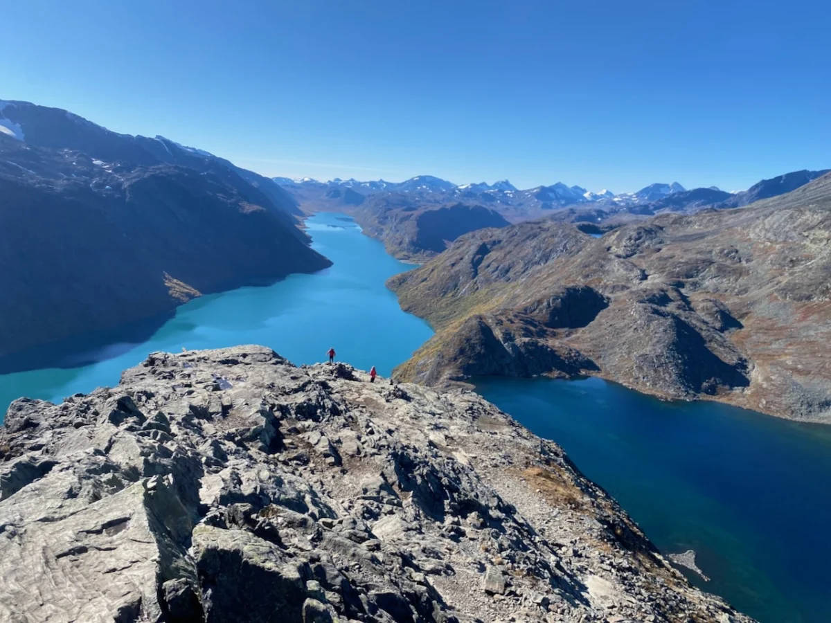
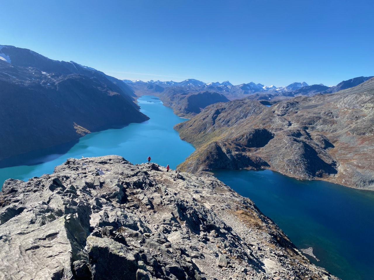
The culmination of the loop is the legendary Besseggen Ridge. This 14-km stretch is an exposed, knife-edged scramble that separates the sapphire blue waters of Bessvatnet from the turquoise Gjende lake. It is a sensory experience of vertigo and majesty, requiring careful foot placement and a steady nerve, before finally descending back to the comfort of Gjendesheim.

Supporting Data and Technical Insights
The success of a trek in Jotunheimen hinges on preparation. My gear choices for this trip were influenced by the need to balance weight with protection against the erratic weather patterns of the North Atlantic. For those looking to replicate this journey, a lightweight, durable shelter system—such as the MLD Duomid—is recommended for those choosing to camp, as wind speeds on the high plateaus can be severe.

GPS tracking is strongly advised. While the trail is well-marked with stone cairns and painted markers, white-out conditions or fog can render visual navigation impossible. Digital maps, such as those provided via GaiaGPS, should be backed up by physical topographical maps and a compass.

The Cultural Significance of the Huts
One cannot discuss the Jotunheimen experience without highlighting the role of the mountain hut. Norway’s DNT system is a global model for wilderness accessibility. During my 2022 visit, I spent an evening at the Spiterstulen emergency hut, where I encountered a microcosm of the global hiking community: British climbers pursuing the Galdhøpiggen summit, a Dutch ultralight enthusiast, a German trio on their inaugural camping expedition, and a seasoned Chilean trekker.

These interactions are not incidental; they are fundamental. The shared experience of cooking, drying gear, and exchanging route information transforms a solitary journey into a collective one. These lodges act as "alpine congregations," bridging cultural divides through a shared reverence for the outdoors.

Implications for Future Hikers and Conservation
The popularity of routes like the Besseggen Ridge brings with it a responsibility toward environmental stewardship. Jotunheimen is a fragile ecosystem. The presence of large reindeer herds and the slow regrowth of alpine vegetation necessitate that hikers strictly adhere to "Leave No Trace" principles.

Furthermore, the influence of literature on the trail’s popularity cannot be overstated. Henrik Ibsen’s Peer Gynt (1867) popularized the Besseggen Ridge, immortalizing it in the Norwegian consciousness. However, the modern hiker must balance this literary romance with the pragmatic reality of climate change. Glacial retreat is visible across the park; the "giants" are changing. Consequently, those who visit should view their trek as a pilgrimage to a landscape that is under pressure, ensuring their passage leaves the rock and lichen as they found them.

Conclusion
The Jotunheimen Loop is a profound synthesis of challenge and beauty. It is a route that rewards the prepared, humbles the arrogant, and connects the wanderer to the ancient geological rhythms of the North. Whether one is drawn by the literary echoes of Peer Gynt, the challenge of the Besseggen scramble, or the quiet camaraderie of the mountain huts, Jotunheimen remains an essential destination. As I concluded in my own research, the "Land of the Giants" does not merely offer a path to walk; it offers a perspective on the world—and our place within it—that is as vast as the horizon itself.

Note: For those interested in the technical specifics of this route, including gear lists and detailed GPS waypoints, please refer to the documentation in "Wanderlust Nordics." Always check local weather reports and the DNT website for current trail conditions before departure.