From the high-desert scrub of the Nevada border to the ancient, wind-sculpted ruins of the Colorado line, the American Southwest remains one of the most formidable and enchanting landscapes on Earth. Between late April and early June 2025, veteran trekkers Kate “Swept Away” Pickett and I undertook a grueling, 800-mile (1,287 km) traverse of Southern Utah. This expedition was not merely a test of physical endurance; it was a deliberate exploration of the geological, historical, and aesthetic depths of a region defined by its canyons, plateaus, and badlands.
The Scope of the Journey: A Landscape in Flux
The expedition was defined by a commitment to discovery. Having previously completed significant routes like the Hayduke Trail, both Pickett and I sought to weave together a path that prioritized uncharted territory and deep-time geological wonders over established, high-traffic corridors.

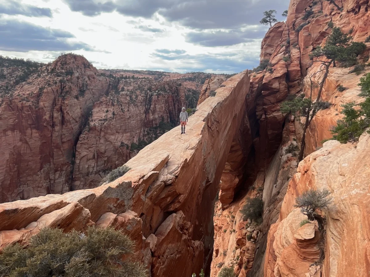
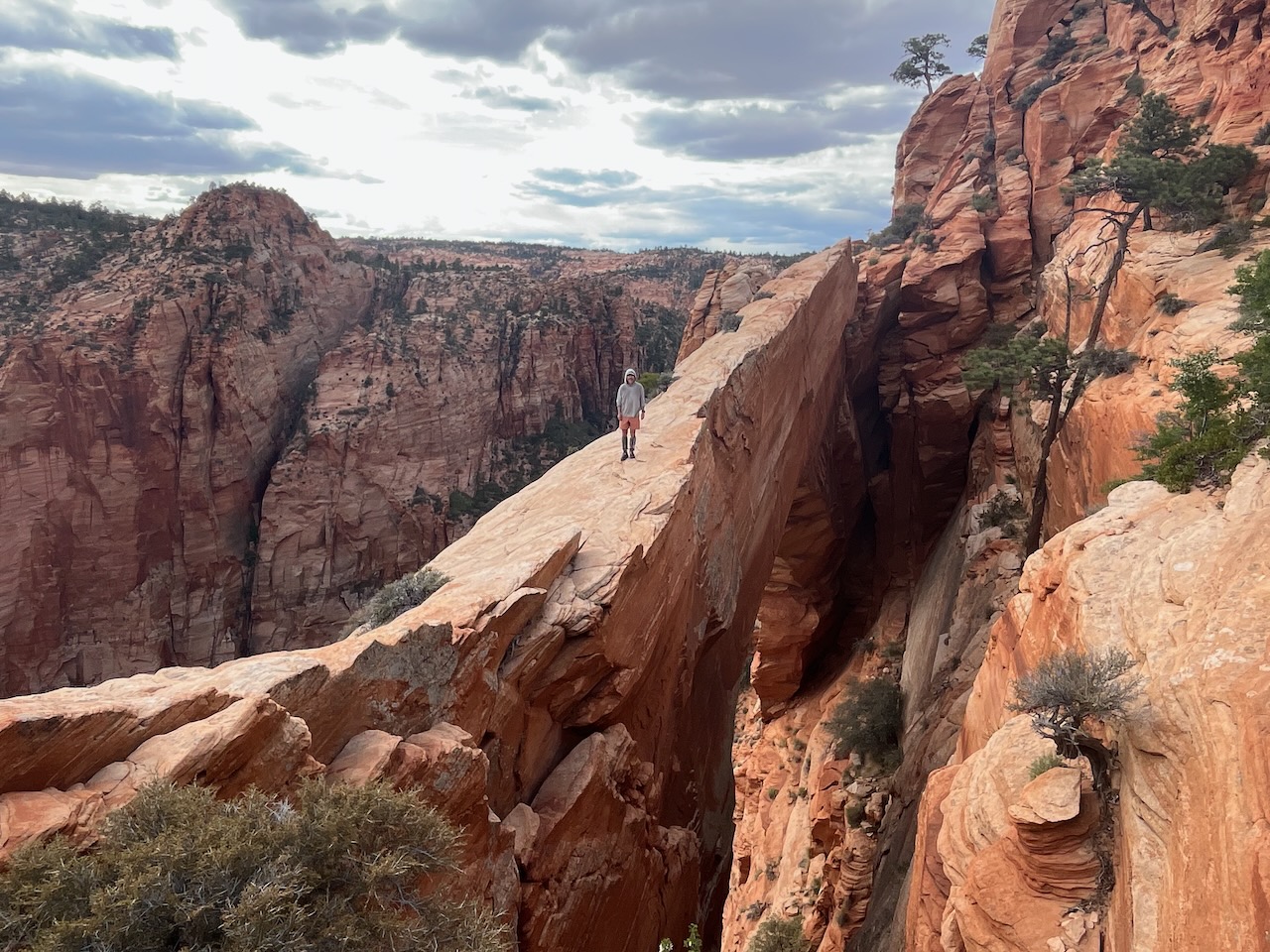
The route functioned as a trans-state survey of Utah’s unique physiography. We traversed a landscape that shifts violently from the white domes of the Canaan Mountain Wilderness to the intricate, archaeological tapestries of Bears Ears National Monument. Over seven weeks, the journey required navigating a mosaic of terrain: high-altitude rock scrambles, water-choked canyon floors, desolate badlands, and the occasional, jarring stretch of paved road. Our navigation was governed less by the efficiency of a trail and more by the curiosity of the explorer—often choosing routes based on the promise of an unmapped arch or a hidden Ancestral Puebloan site.

Chronology: The Eight-Stage Progression
To manage the logistical complexities of an 800-mile trek, we segmented the journey into eight distinct stages. This structure allowed for strategic resupply points and the management of regional environmental challenges.

- The Western Gateway: Commencing at the Nevada border, west-southwest of Enterprise, the first stage served as an introduction to the vast, arid basin-and-range topography.
- Canaan Mountain & The White Domes: A major objective was the Canaan Mountain Wilderness. This area, nestled between Hurricane and Kanab, offered a stark contrast to the surrounding desert, featuring elevated, white-sandstone structures and the spectacular "Eye of Heaven" (Water Canyon Arch).
- The Grand Staircase: Moving eastward, the route entered the heart of the Grand Staircase-Escalante National Monument. Here, the challenge shifted from simple navigation to technical rock scrambling and traversing the iconic "Barracks."
- Bryce & The High Plateaus: We navigated the precarious, jagged ridgelines near Bryce Canyon, opting to camp on the periphery to respect federal park boundaries while maintaining our forward momentum.
- The Waterpocket Fold: This stage brought us deep into Capitol Reef National Park. The geology here is dramatic, characterized by the "Fold"—a monocline that creates an almost impenetrable barrier of tilted rock layers.
- Stevens Canyon & The Grottoes: A highlight of the middle trek, this section involved navigating complex, water-filled grottoes and navigating the delicate, wind-sculpted rock features that characterize this remote sector.
- The Descent into Bears Ears: The transition into the southern sections of Bears Ears National Monument was a profound experience. Exploring Cedar Mesa, specifically the depths of Grand Gulch and Bullet Canyon, provided an intimate look at the "Perfect Kiva" and other preserved archaeological sites.
- The Final Push: The trek concluded at Hovenweep National Monument, just a short walk from the Colorado border. The final image of the journey—the silhouette of Holly Tower—offered a fittingly ancient terminus to an eight-week immersion in the desert.
Supporting Data: The Logistics of Survival
For an undertaking of this magnitude, the "Three Pillars"—Water, Resupply, and Permits—are the difference between a successful expedition and a dangerous failure.

Hydrological Strategy
Water in the high desert is a fleeting, precious commodity. Our primary planning tool was the USGS topographical data, supplemented by the digital resources provided by Across Utah. We maintained a maximum carrying capacity of 9 to 10 liters. While our reliance on historical data was necessary, we were fortunate to benefit from a series of late-spring storms. These weather events replenished critical "potholes" and streams, turning potentially dry, dangerous stretches into viable routes.

The Resupply Network
Resupply was managed through a hybrid system of mail drops and local purchasing. Towns such as St. George, Kanab, and Escalante served as vital hubs. We are deeply indebted to friends and family who acted as our logistical lifeline, holding supplies and ensuring we were adequately provisioned for the stretches between civilization. We also utilized a strategic cache at the Burr Trail Road to mitigate the massive gap between Escalante and Bullfrog Marina.

Regulatory Compliance
Navigating the regulatory landscape of Southern Utah is as complex as navigating its canyons. We secured permits across several jurisdictions, including:

- Bryce Canyon: Managed through a mix of park-boundary camping and town-based stays.
- Grand Staircase-Escalante & Capitol Reef: Coordinated through the Interagency Visitor Center in Escalante.
- Bears Ears: Handled via the Recreation.gov digital portal.
Official Perspectives and Ethical Stewardship
While the article focuses on our personal experience, it is imperative to acknowledge the importance of the land management agencies that govern these spaces. The National Park Service (NPS) and the Bureau of Land Management (BLM) provide the framework through which such expeditions remain sustainable.

The importance of the "America the Beautiful" pass cannot be overstated for long-distance hikers. However, the true value lies in the leave-no-trace ethic. In areas as sensitive as the archaeological sites of Comb Ridge and the fragile crusts of the Canaan Mountain wilderness, the responsibility of the hiker is to ensure that the "red rock wonders" remain pristine for those who follow.

Implications for the Future of Long-Distance Hiking
This 800-mile traverse highlights a growing trend in the backpacking community: the shift toward regional, thematic, and cross-country expeditions. Unlike the "thru-hiking" culture of the Appalachian Trail, which is defined by established paths and a rigid social structure, a traverse of the Utah wilderness requires a high degree of technical proficiency, self-reliance, and an ability to read the landscape.

A New Standard for Exploration
The implications of our success—and the detailed logs we maintained—suggest that there is a demand for "Route-Finding" style hiking. Hikers are increasingly looking for challenges that move beyond the physical act of walking and into the realm of environmental navigation.

The Role of Documentation
By documenting the water sources, the archaeological findings, and the gear performance, we hope to provide a template for future explorers. The inclusion of photography by Kate Pickett captures not just the beauty of the landscape, but the reality of the human element within it—the fatigue, the moments of awe, and the relief of finding a water source after a dry, sun-baked day.

Reflections: Beyond the Miles
Selecting highlights from an 800-mile journey is, as I have noted, an impossible task. Whether it was the overwhelming silence of the Great Chamber, the intricate petroglyphs at the Procession Panel, or the simple, communal joy of a failed attempt to reach Veyo Pies before opening, every mile held its own narrative.

As we look toward the future, the lessons learned in the canyons of Utah remain relevant. The importance of preparation, the necessity of community support, and the profound, humbling experience of traversing a landscape that has been carved by time itself, are the true markers of a successful expedition. For those interested in the technical specifications, the maps, and the forthcoming stage-by-stage breakdowns, the work of documenting this journey continues. It is a testament to the fact that, in a world that feels increasingly mapped and categorized, there are still corners of the wild that reward the persistent, the curious, and the prepared.

Disclosure: This article contains affiliate links. Purchases made through these links support The Hiking Life in its ongoing mission to provide high-quality resources for the global hiking community.